Monthly Archives: April 2014

Denham

image
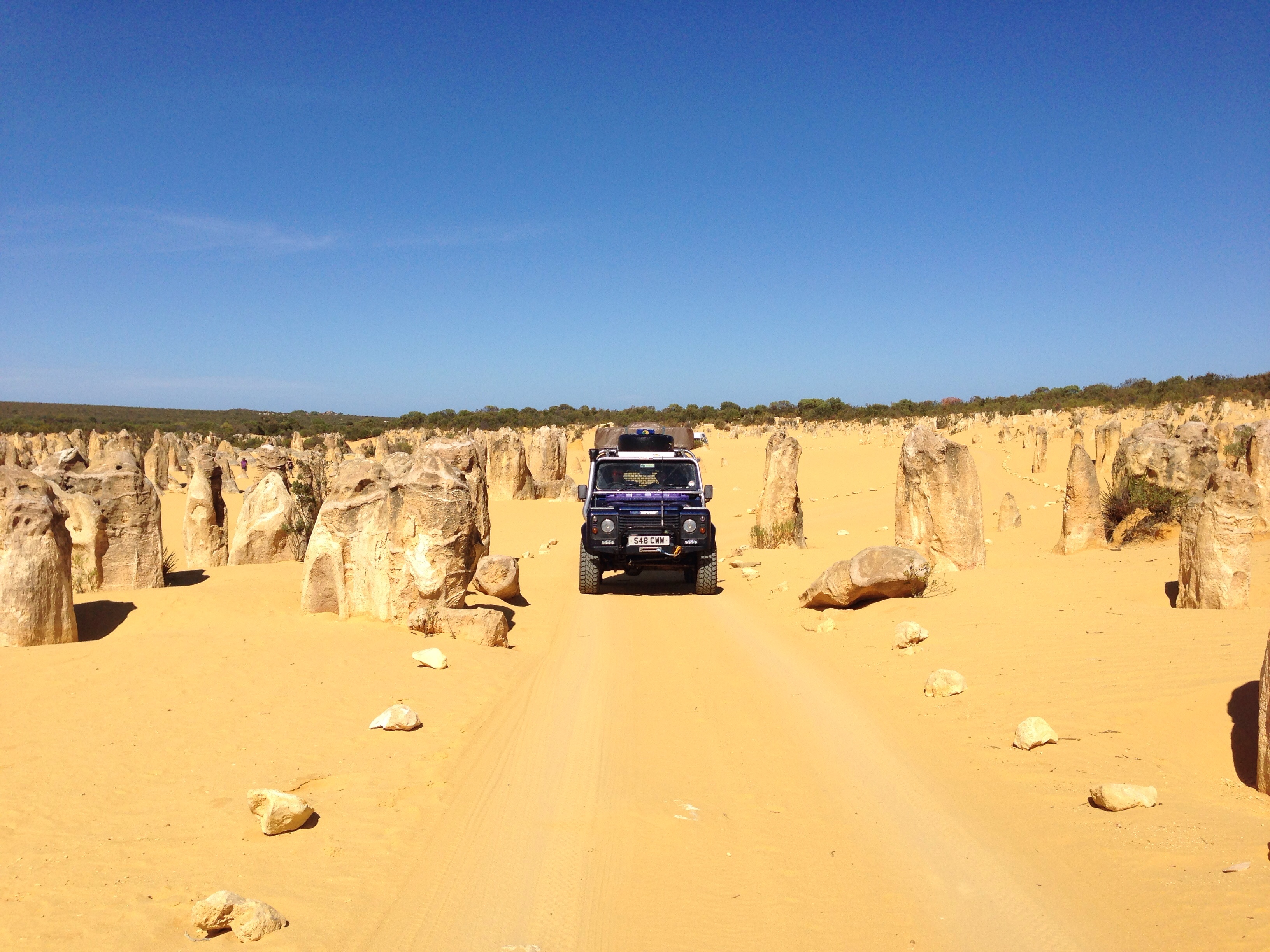
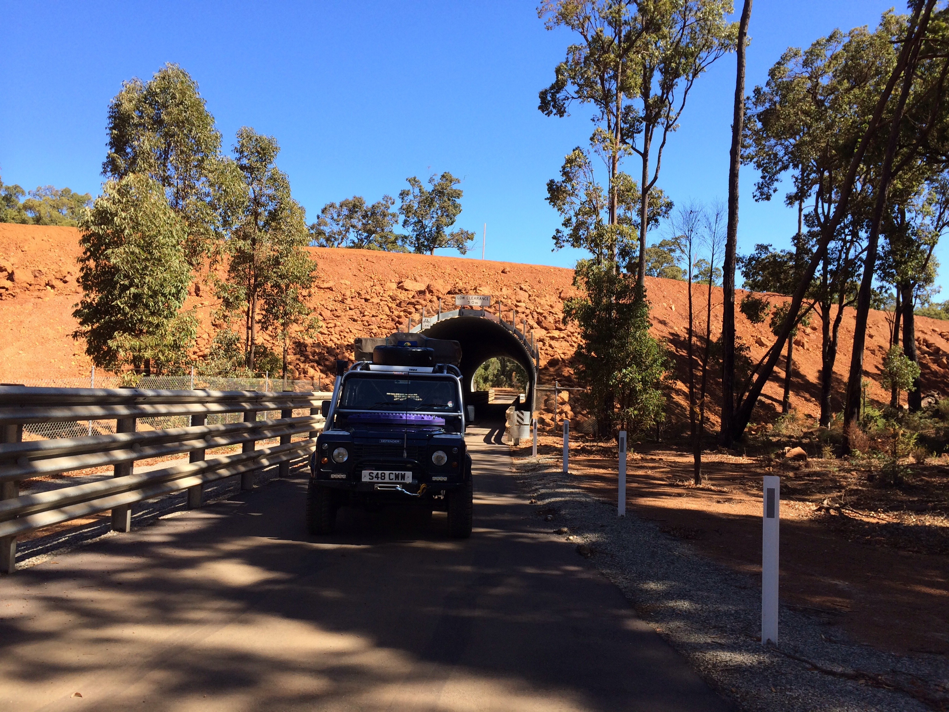
An early start this morning thanks in no small part to a pair of cockerels that decided 4am was close enough to sunrise as makes no odds ! There were too many flies to hang around so as soon as the coffee was made and safely stored in our insulated mugs we hit the road.
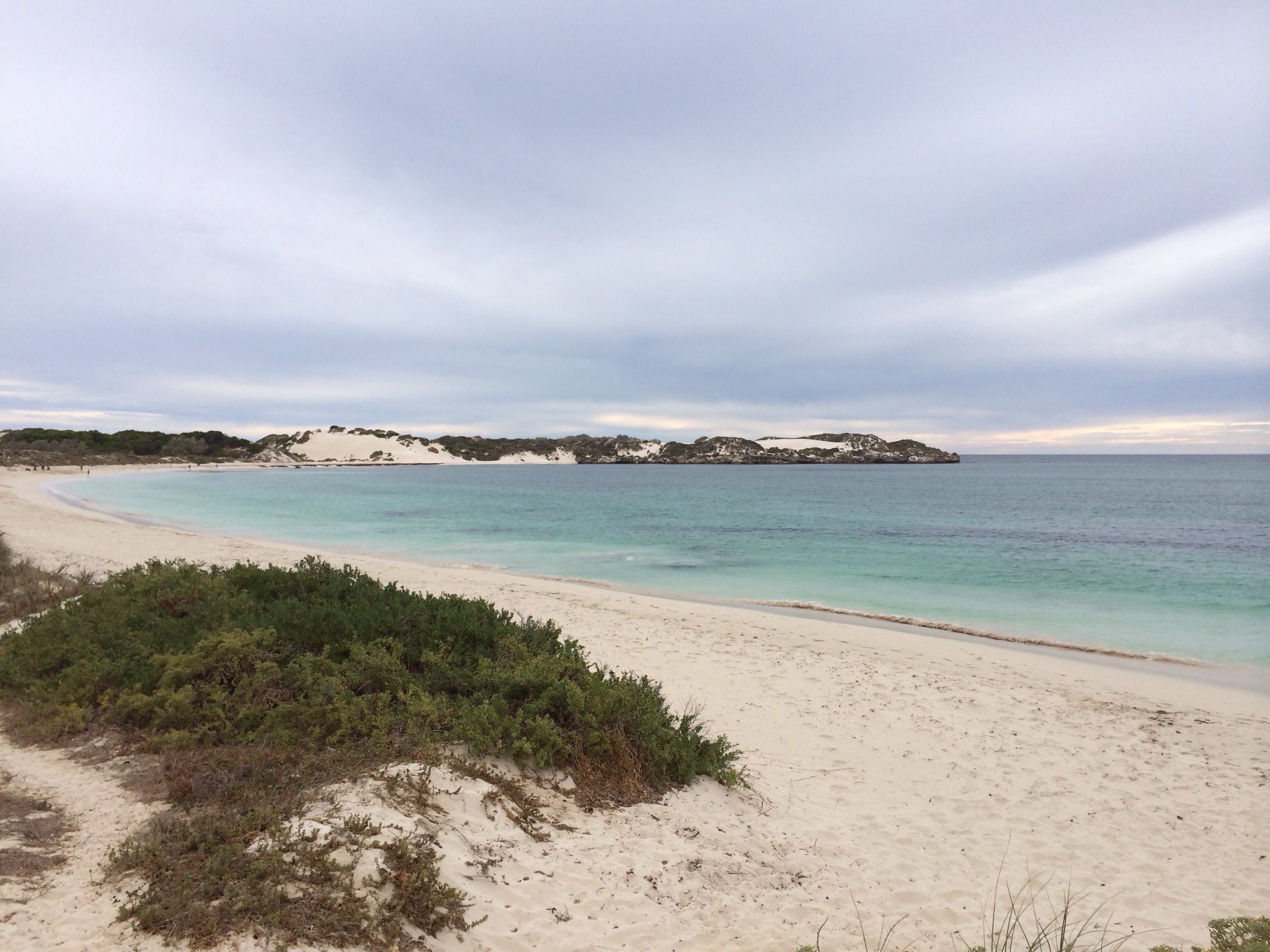
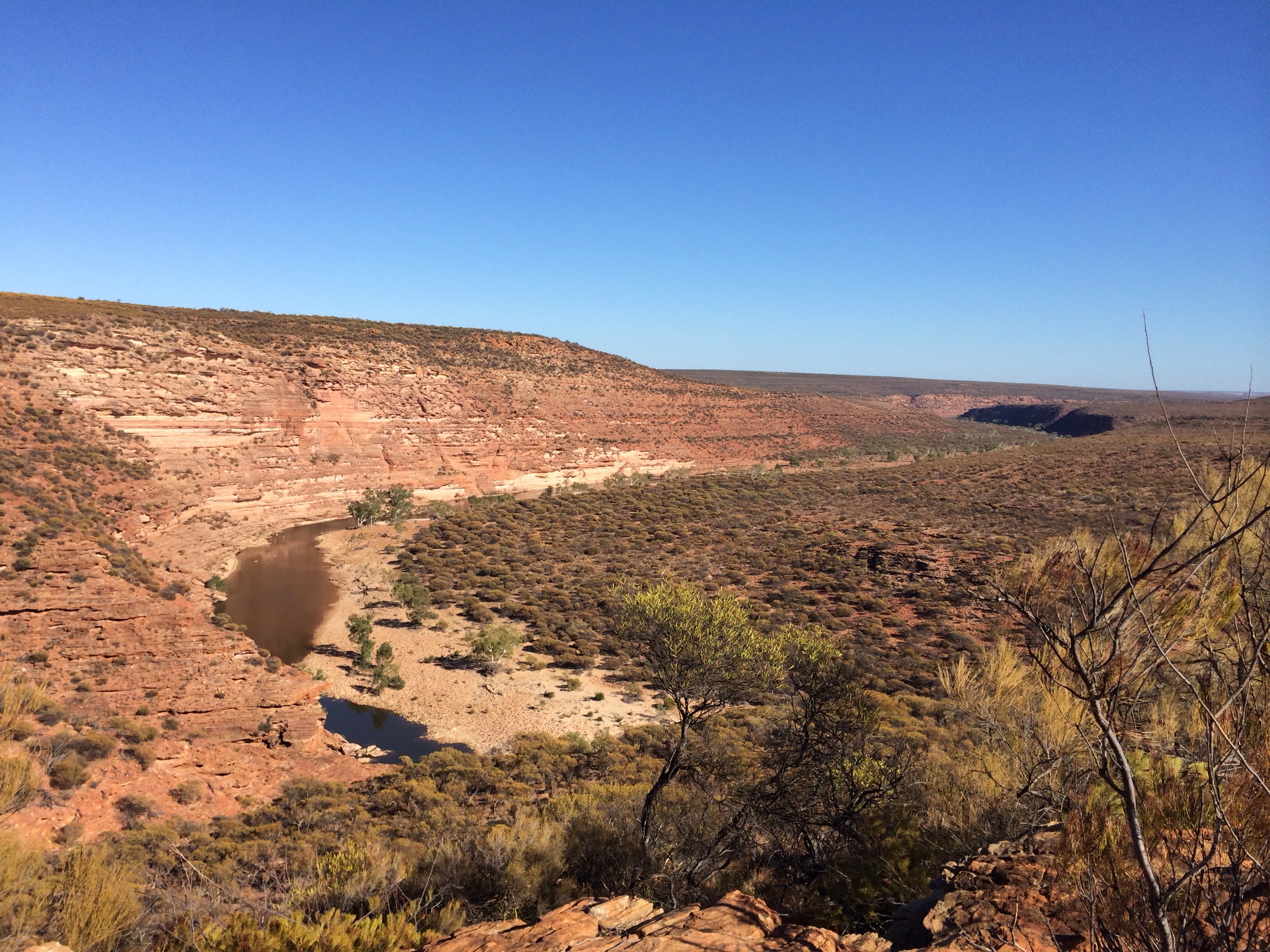
The first part of today’s journey took us through the Kalbarri National park. A diversion off the main road onto around 25k of mixed sealed and unsealed road brought us to a series of lookouts and walks that follow the inland gorges carved by the Murchison river. The gorges have water in them at the moment which, apparently, is the first time for 3 years.
image
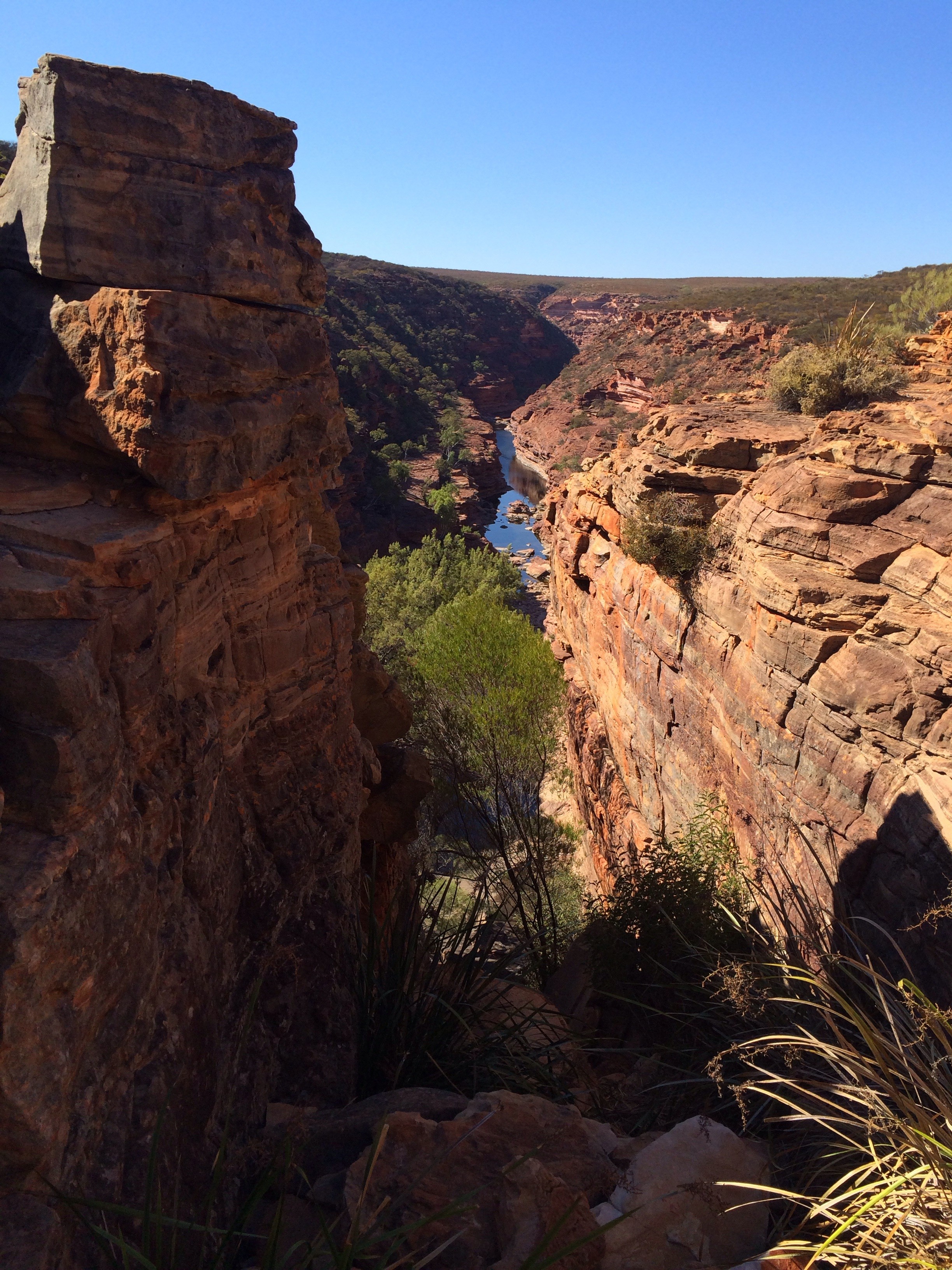
We bottled out of the 7k walk and climb down to the river in the bottom of the gorge as we were plenty hot enough on the rim of the gorge with temperatures in the low 30s.
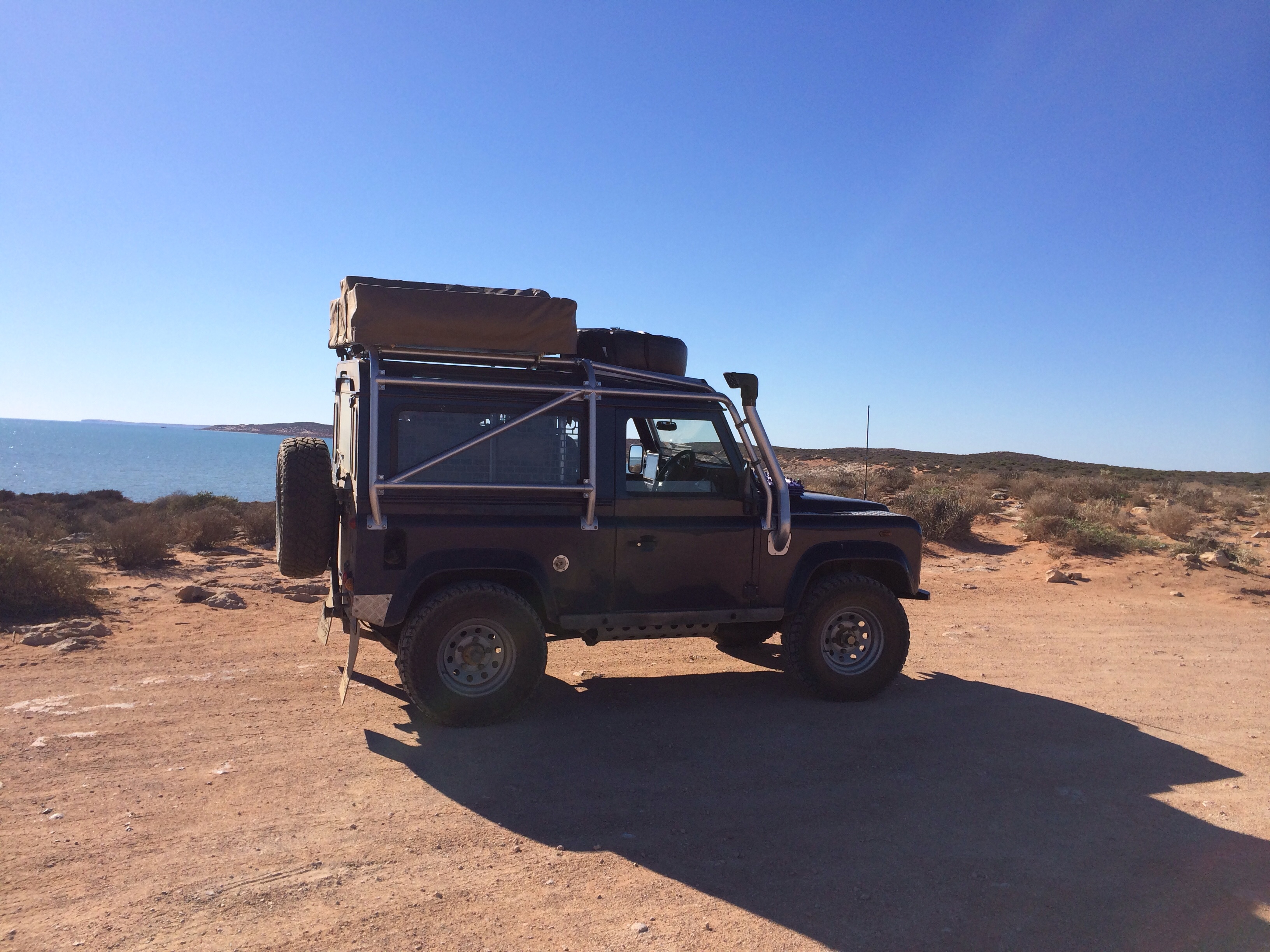
After a few hours of exploring the gorges we headed back to the road again and followed it to highway 1, the North West Coastal Highway as it’s known at this point. Turning north again the highway is a bit of a drag, similar to the Nullarbor although it does have a few trees. Lots of signs of recent bush fires at the side of the road too. We stopped for fuel at the Billabong Roadhouse and took full advantage of the air conditioned cafe area to have some lunch. Temperatures have certainly started to creep up over the last few days and it’s now very uncomfortable sitting in the car when it’s stationary.
imageAfter leaving the main highway to head towards Denham we had a brief stop to look at the stromatolites at Hamlin Pool. Stromatolites are created by primitive Cyanobacteria that bind sediments together, forming rock like structure. Fossilised stromatolites are among the oldest evidence of life on earth and these living versions only exist in 4 places now. They look a bit like large cow pats though… It had to be said.
At some point we crossed the 26th parallel which means we’re now to the north of latitude 26. In simple terms that means that we’re now officially in the north of Australia as latitude 26  runs through the centre and we’re north of it !

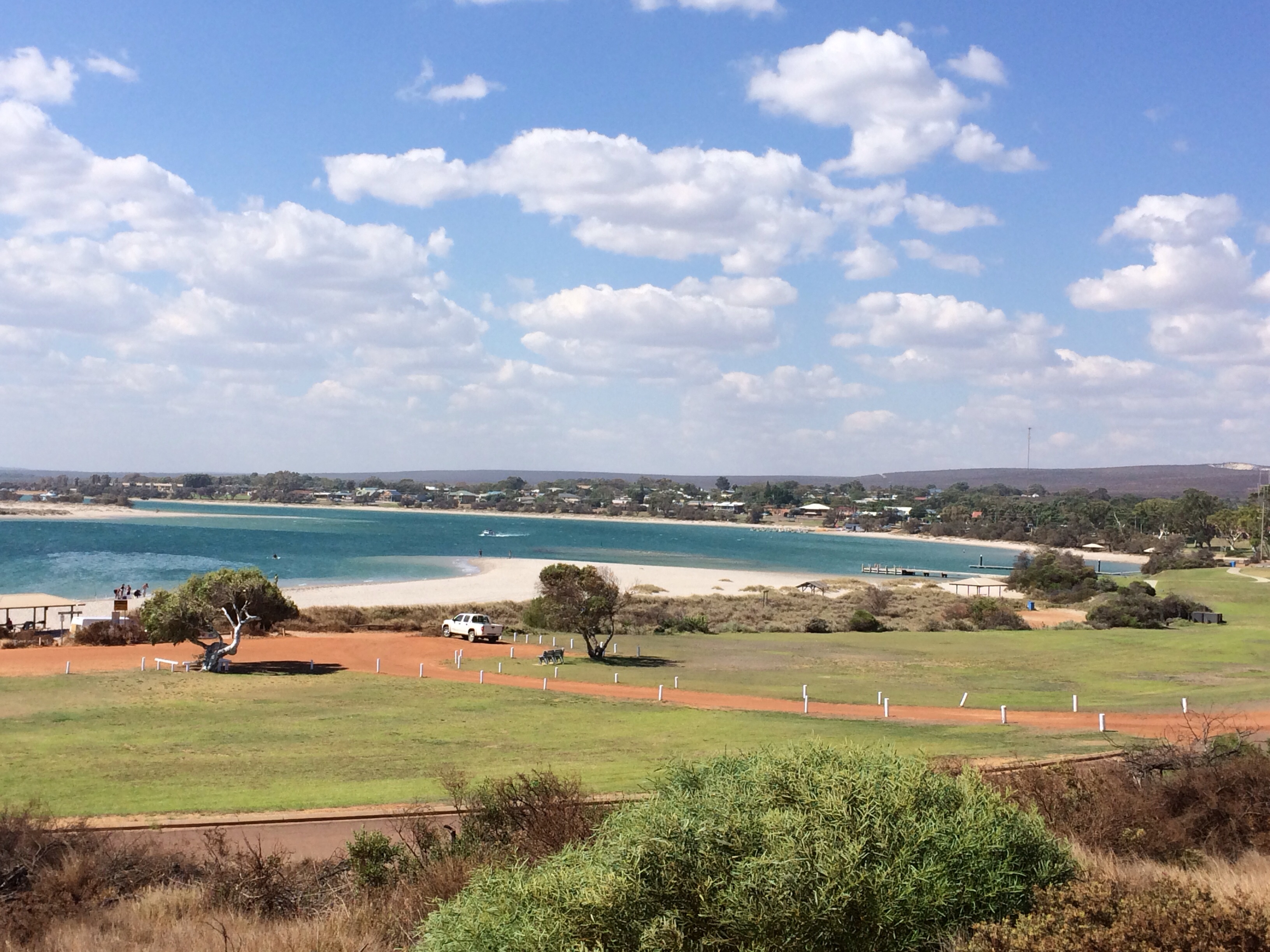
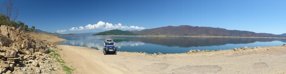
Anyway, Denham is a nice spot and gives us a good base to visit Monkey Mia tomorrow. We’ve booked in for two nights so we’ll be able to take our time tomorrow at Monkey Mia and exploring some of the 4×4 tracks in the national park. On Thursday we should then be able to get to Carnarvon and then somewhere near Exmouth on Friday. We’ll try and get signed up for a snorkelling trip at Ningaloo on Saturday.

The camp site at Denham has free WiFi with a decent speed so we finally managed to update the HEMA maps on the iPad so we have the most recent versions. Tomorrow night I might upload some of the pics from the proper camera to the gallery (all the pics on the blog have been taken with our iPhones).

Kalbarri

View from one of the lookout points south of Kilbarri

View from one of the lookout points south of Kilbarri

Last night we finally managed to get the channel Ten live feed working on the iPad so we had the latest night we’ve had in ages, watching the Bahrain GP live until gone 1am. It was a pleasant surprise to find that Ten take the Sky commentary feed so other than the occasional advert break it was good coverage of what turned out to be a fascinating race. Shame JB retired though. Being up at 7am meant that for the first time in ages we woke up with an alarm instead of waking naturally.
Took a trip into Geraldton this morning to get the propshafts greased at the local Land Rover specialist. We then went for a drive to the beach front to get some free wifi. There’s an update to the HEMA maps iOS app that has updates to the maps we have and some new ones but it’s 1.8GB to download it !
We found the free WiFi but it stopped downloading at about 60% so we had to abandon it. On the plus side we had a decent coffee and pastries while we were sat waiting. We’ll have to find an Internet cafe to download it.

Kilbarri beach front

Kilbarri beach front

From Geraldton we resumed our journey up the coast to Kalbarri. We stopped at some of the lookout points just before arriving Kalbarri to look at the views over the sea and cliffs and in the hope of seeing some dolphins. Sadly, no dolphins but the views were worth the detour anyway…
The camp site we chose is the “Big River Ranch” just outside Kalbarri, mainly chosen because they offer horse riding which Pam was keen to try again after not riding for 20 years. It’s a pleasant enough spot for an overnight camp but a bit exposed to the persistent winds that seem to plague this part of the coast.

Pam heading out on a ride around the ranch.

Pam heading out on a ride around the ranch.

Tomorrow we’ll head inland through the National Park and visit the inland gorges which are supposed to be well worth a visit. We’d like to get further north by the end of tomorrow, perhaps as far as Monkey Mia but that will depend on how long we stay in the park and how we feel. There are a few camp sites along the way that will do as a half way point if needed.

Sunset Beach

Sunset Beach

Sunset Beach

After a pleasant night at Sandy Cape we’ve started to formulate a plan for the next week or so.
Today we continued our journey up the coast to Geraldton where we will spend the next couple of nights at the Big4 site at Sunset Beach. Before setting up camp we took a trip into Geraldton for a supermarket and bottle bank run so we gave enough supplies for the next 7 days. North of Geraldton it will become harder to re-stock so we need to get into the habit now of restocking when we can. We’ve also filled all 3 water containers with drinking water so we can get used to storing 3 rather than 2 full containers.

Sunset Beach

Sunset Beach

Tomorrow I’ll give the 90 a good check over and then on Monday morning we hope to find a suitable garage where we can get the propshafts greased and fix any issues I might find that I don’t fix tomorrow.
Assuming all is sorted we’ll then head up to Kalbarri National Park where we will cut inland before heading up to Hamelin and Monkey Mia. If we can we need to be away from Monkey Mia for Friday as the school holidays will almost certainly mean it will start getting stupidly busy after then.
We want to head towards Exmouth and Karijini National Park but haven’t precisely figured out when that will be or how we’re going to get to them both yet ! With the two week school holidays combined with Anzac Day and Easter we’re not sure how hard it’s going to be to get where we want to, when we want to. It may be that it won’t be too bad that far north…

Sandy Cape

The beach at Sandy Cape

The beach at Sandy Cape

A very short hop up the coast today, maybe 40k by road. We did manage to find a bottle shop en-route though so our beer supply has been refreshed.
The site at Sandy Cape is one that we’d considered for last night’s stop but the facilities are basic with no water, no showers and just long drop toilets. The lure of flushing toilets and decent showers tempted us away for this one yesterday but we decided we’d head here today to have a look at the site and see if it looked good.
On first arriving it seemed our kind of camping, nice and open, very close to the beach (about 50ft away) so we decided to have a lazy afternoon and stay the night.
imageThings went a little awry when we’d paid the fee and tried to find a spot that was level enough and wasn’t going to leave the roof tent ladder in deep sand. Things got worse when the only decent spot turned out to have a feral bees’ nest in the sand next to it, so that was a none starter !
Anyway, eventually we found a suitable spot and made camp. After a chilling out period of reading books we decided that we were more than overdue for a swim in the sea (ocean). Very enjoyable it was too although my attempts at body surfing were less than successful 🙂
The solar shower bag we’d bought as a last minute addition to our kit got it’s first use and it was actually pretty effective, at least good enough to rinse the salt water out of our hair.

Sunset at Sandy Cape

Sunset at Sandy Cape

The sunset was amazing with the colours of the sky, the clouds and the sea constantly changing. The sea at dusk seemed even more of a vivid turquoise than it did during the day. We also saw a large stingray cruising through the area we’d been swimming in, which was interesting…
Our “neighbours” are locals (ish) who have worked in the north of WA and gave us a few points of interest to visit on our travels. Tomorrow we’ll head to Geraldton where we’ll plan the next journey inland and restock.

Cervantes

imageAnother short hop today, allowing us plenty of time to stop off at The Pinnacles on the route between Gingin and our intended destination, Cervantes.
The Pinnacles is an odd phenomena in the desert just south of Cervantes. There are a number of theories regarding how they formed and why but none has been proved and all are contested by conflicting theories.
imageThey look like standing stones but cover a large area of desert and have only been uncovered by the sand dunes in the last 600 years.
It’s another of these places that seem impossible to capture with a camera but the pics might give a flavour of it. A random collection of vertical limestone rocks in the middle of a sandy desert. Some of them are perhaps 20ft tall and others nothing more than boulders. There’s a 4km drive that takes you around and through the rocks with numerous places to park up and walk around them.
imageFrom The Pinnacles we set off for Cervantes to the Pinnacles Caravan Park. Our initial impression of the site wasn’t over optimistic as it looked like a typical beach front holiday site full of chalets and semi-permanent vans. Fortunately the touring area is actually much nicer with large pitches on grass and we’re only about a 100m walk through the sand dunes to the beach.
imageAfter we’d set up camp and had a chilling out period we at least managed a paddle in the ocean and a walk along the beach. As you’d expect on the west coast the sunset was over the sea and we watched it go down while taking a few pics.
We’d thought we might spend a couple of nights here but we’ll probably take advantage of the showers here in the morning and move to another site tomorrow, possibly a beach site just to the north of us.

Gingin

Restored water wheel at Gingin

Restored water wheel at Gingin

Another short hop today, all on Tarmac, as we skirted around Perth to our chosen destination for tonight – a caravan park just to the west of Gingin, north of Perth.
As the journey was primarily made up of driving through the Perth suburbs it was a bit of a shock to the system after getting so used to nearly empty Tarmac roads and completely empty unsurfaced roads.
The journey wasn’t helped by us getting stuck in a queue behind a large load – a mining transporter/tipper on the back of a low loader. The outfit was over 2 lanes wide which meant no overtaking on the dual carriageway sections and it got more interesting on the single carriageway sections as oncoming vehicles, including road trains, were having to risk pulling onto the verges so it could squeeze past. Glad we weren’t in any hurry 🙂

The mill pond at Gingin, the race seems to feed to the wheel from a culvert on the right hand side.

The mill pond at Gingin, the race seems to feed to the wheel from a culvert on the right hand side.

Finally arriving at Gingin we stopped for lunch at the cafe and had a wander around the town. A really nice place as it turned out, well looked after and quite prosperous judging by some of the new houses being built on the outskirts.
Another 10km west and we arrived at the camp site, very friendly place and very relaxed, time for a steak and a bottle of beer or two out of the fridge !
Tomorrow we’ll head to the pinnacles first thing and then to a camp site on the coast which we’ll spend a couple of nights at if it’s nice. Might even go for a swim in the ocean yet.

Pinjarra Park

This conveyor belt is 52km long and transports bauxite from the Worsley Mine to the refinery.

This conveyor belt is 52km long and transports bauxite from the Worsley Mine to the refinery.

A short day today and a bit of exploration. We set off to Collie first thing to stock up on provisions at the Coles supermarket.

Leaving Collie we headed into the Harris River State Forest, following mostly unsurfaced tracks. The majority of the tracks were in good condition with few/minor corrugations and the forest made for some decent scenery along the way. There was maybe 5k worth of track with bad corrugations that looked to have had some heavy vehicles along it.

The tracks we used crossed a conveyor belt three times, each time heading over the top of it on a bridge. The conveyor belt has a corrugated tin roof over it but you can see the belt and supporting wheels. The belt is one of the longest in the world and extends for 52km from the mine to the refinery, cutting through the middle of the forest.

Tunnel through a Bauxite mine track - the very large tipper trucks travel up and down this ramp.

Tunnel through a Bauxite mine track – the very large tipper trucks travel up and down this ramp.

Another sign of the bauxite mining in the area was the long ramp that the road went under in a tunnel. It looked similar to an old incline but MUCH bigger as it was carrying mine tipper trucks rather than a railway.

Having reached the north of the forest by early afternoon we stopped at a collection of camp sites but it didn’t look too appealing so a quick search of WikiCamps threw up a site at Pinjarra Park. It’s not as far north as we’d intended but it’s a nice spot and we’ve moved a bit further north.

Best of all, we seem to have moved our of the weather system that has been giving us clouds and rain for the last few days, clear blue skies and a warming sun – that’s more like it ! Obviously we reserve the right to start complaining about the heat now 🙂

We’ll probably head past Perth tomorrow, either stopping at one of the sites to the North East of Perth or heading to the pinnacles, we’ll see how we feel tomorrow and take it as it comes.