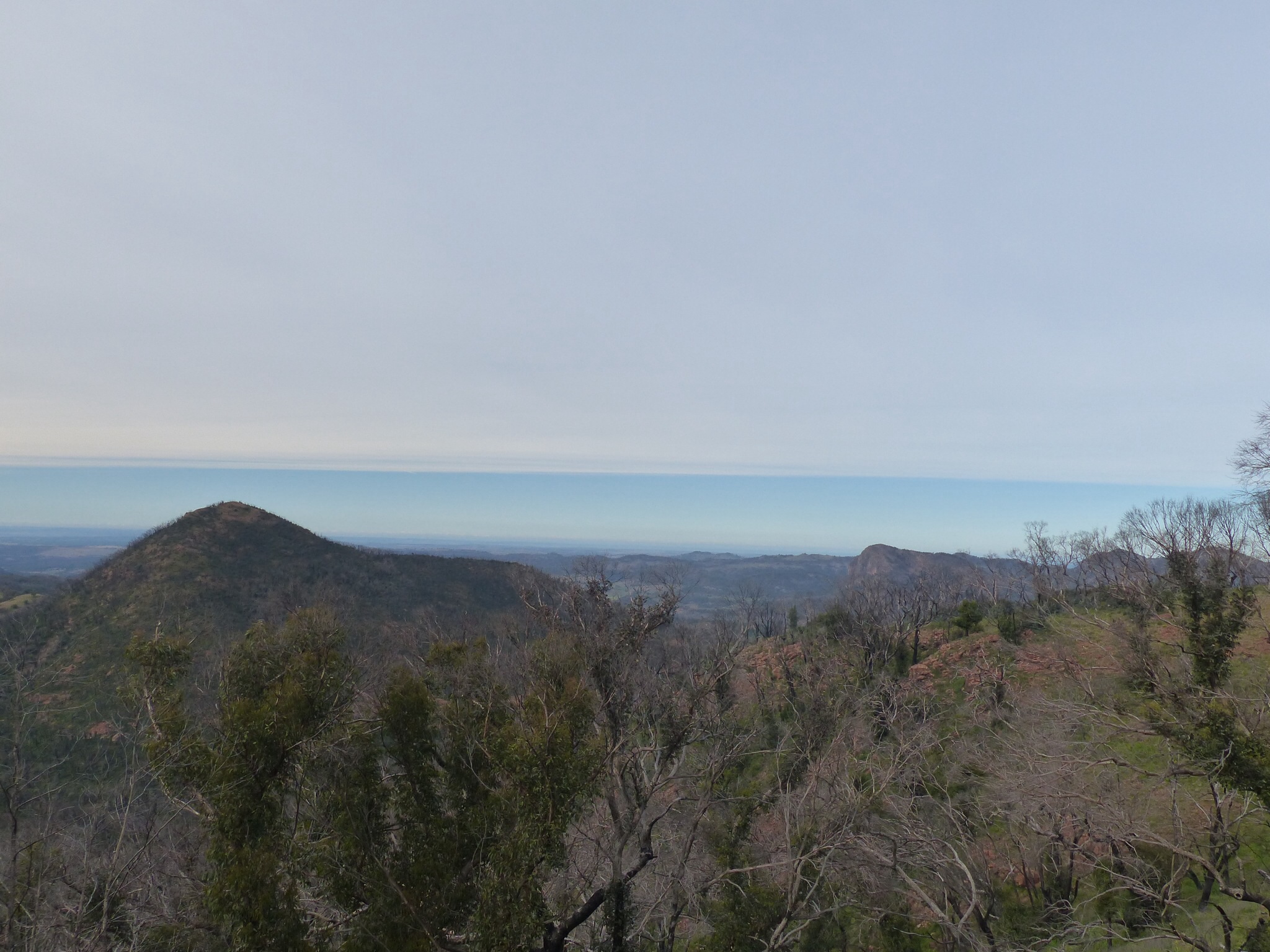
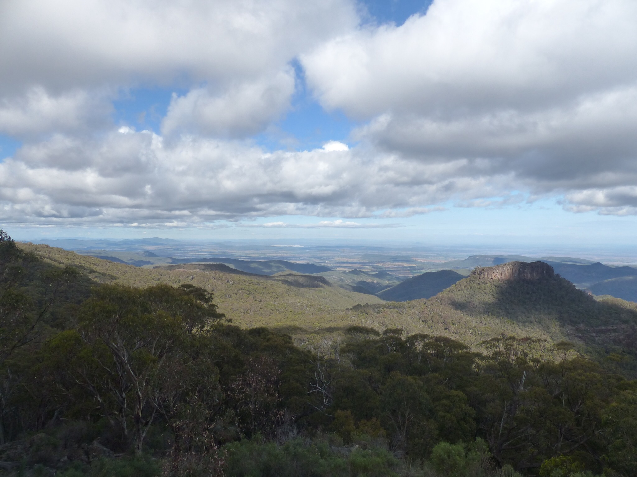
One of the views from Mount Kaputar
We spent the first half of today in the Mount Kapatur National Park. The first part of our exploration of the park involved a drive up to the peak of Mount Kapatur, a drive of around 50km with the last part being a mix of surfaced and unsurfaced routes up some steep and very narrow roads with huge steep drop offs to the side.
The unsurfaced bit in particular really kept you on your toes – it’s one thing getting understeer or the back end stepping out on corrugations when there’s a nice flat desert next to the road, quite another when there’s a near vertical drop with no barrier ! Needless to say I was giving the corners a lot of respect.
The views from the mountain top are, once again, awe inspiring. At 1510 metres above sea level the peak is the highest point for hundreds of miles in every direction. The mountain peaks of the range seem to capture or create their own clouds above them and we were just above the cloud base on the peak. Once again, the camera doesn’t do it justice but looking out over the plains in every direction you felt like you could see forever. What it’s like in summer with clear blue skies, I can only imagine.
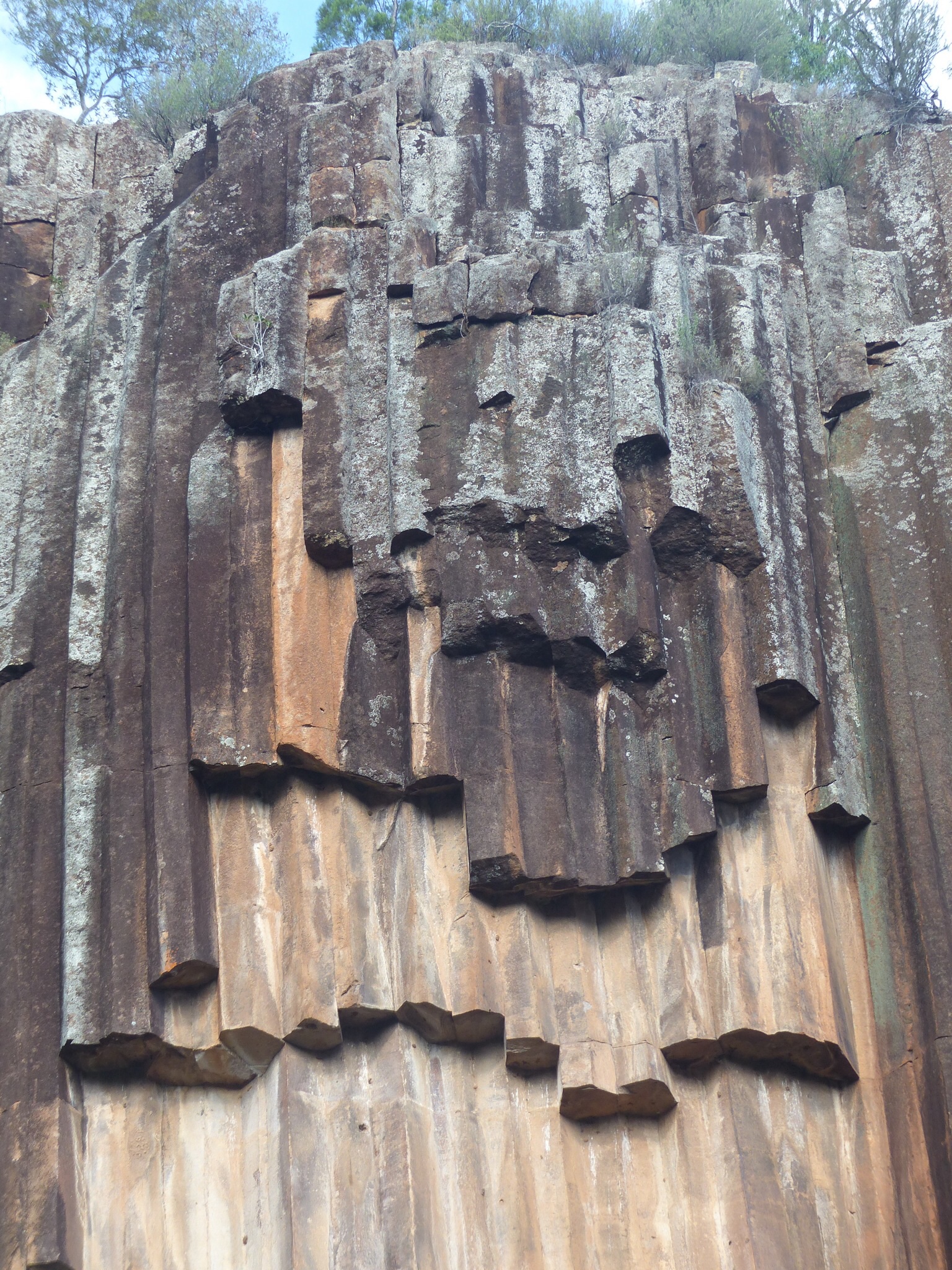
Basalt columns at Sawn Rocks
From Mount Kaputar we had to retrace our steps all the way back to Narrabri before taking the road to Bingarra. This road passes through the northern most part of the Kaputar National Park, crossing over the mountain range. We stopped at the Sawn Rocks, quite high in the mountains. This is an area that has basalt columns, similar to those found at Giants Causeway in Ireland. They’re formed when volcanic lava cools slowly, allowing the basalt to form in it’s crystalline pattern. Apparently there are many instances of this in the area although Sawn Rocks is the best example.
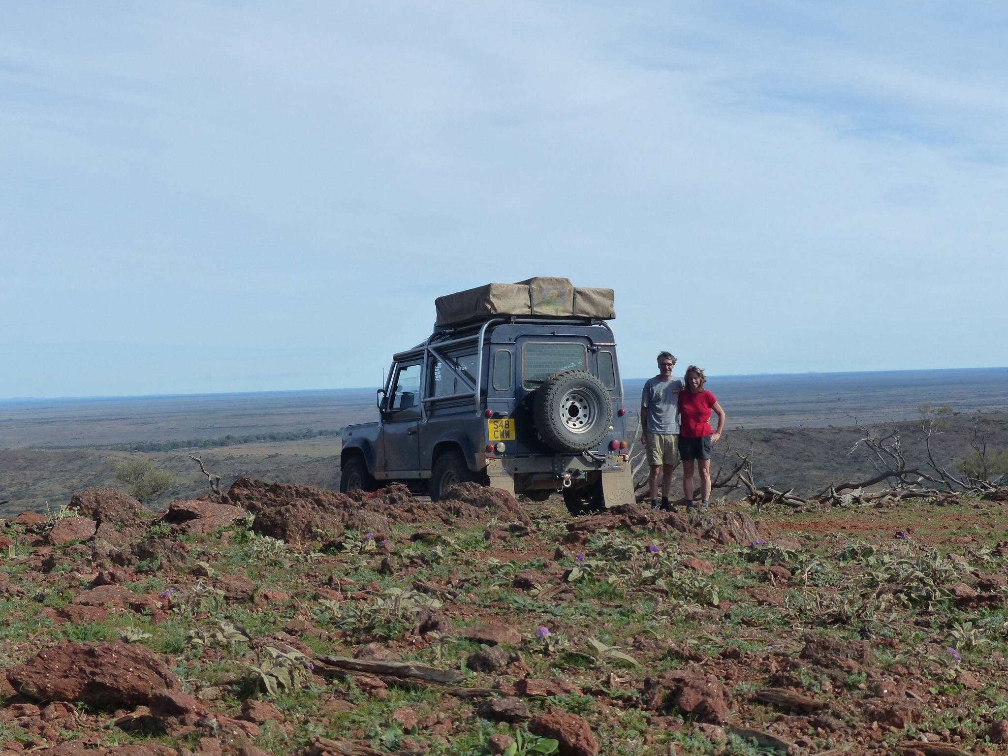
From Sawn Rocks we continued on to Bingarra. This whole area seems to be prime pastoral land with wide fertile valleys which seem well irrigated both by the rivers that run through them and presumably from the cloud systems that the mountains seem to collect. It’s mostly cattle farming but by contrast to the cattle farming in the outback this resembles UK farming with fenced off fields and tags in the cattle’s ears. The breeds of cattle are also more like the ones we see at home rather than the more primitive breeds used in the outback.
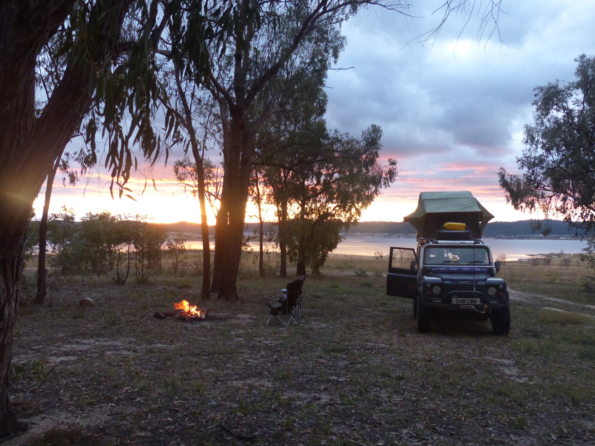
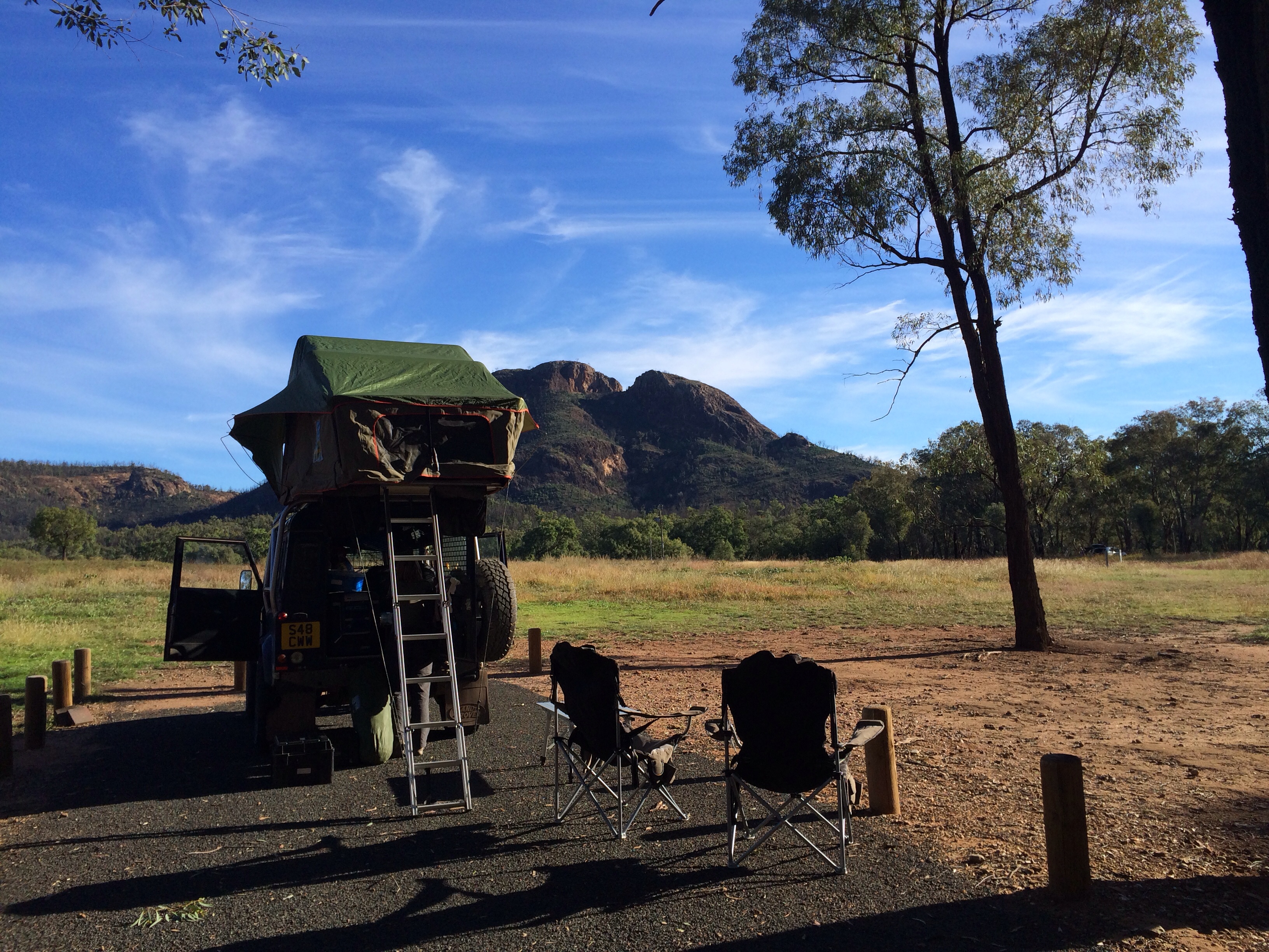
Sunset at our camp site, camp fire already burning and tea nearly ready
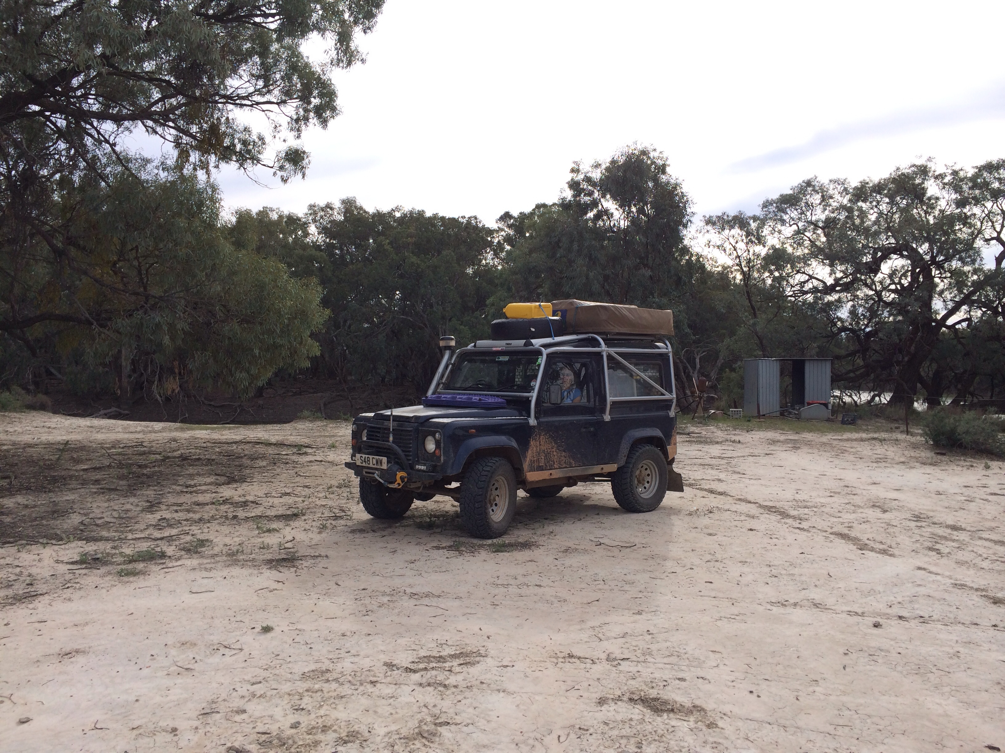
When we arrived at Bingarra it was time to choose a destination for the night. Our old friend WikiCamps showed a few possibilities in the area and we plumped for the state park site at Lake Copeton. It’s an odd site this one, you drive into what looks like a high end tourist park with kids play areas, a cafe, a big car park. The site extends for about 5km along the edge of the lake and most of it is bush camping with no facilities within easy walking distance – suits us down to the ground having no other campers around us. We also took advantage of the available dead wood and had a camp fire for the first time in ages.
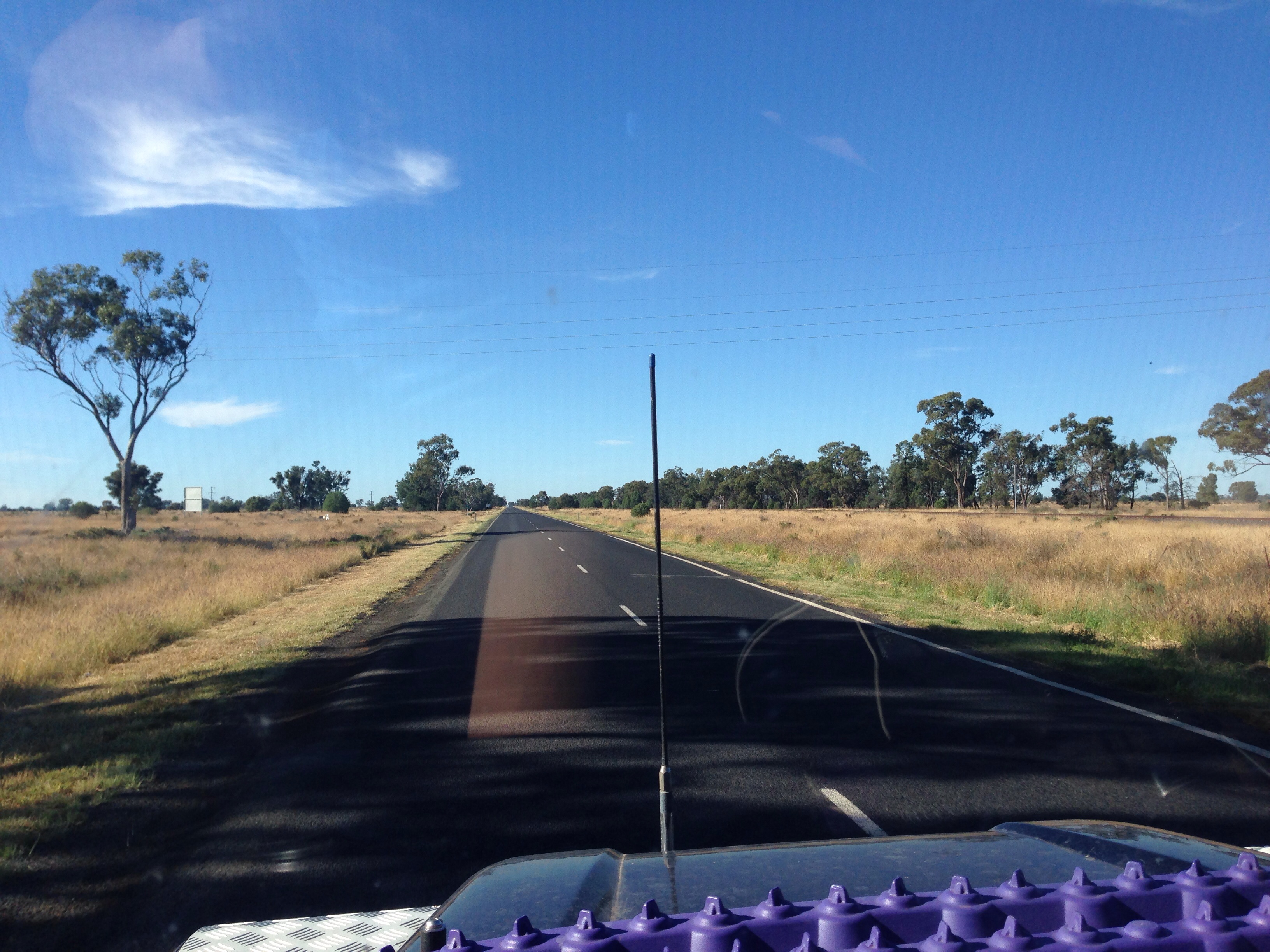
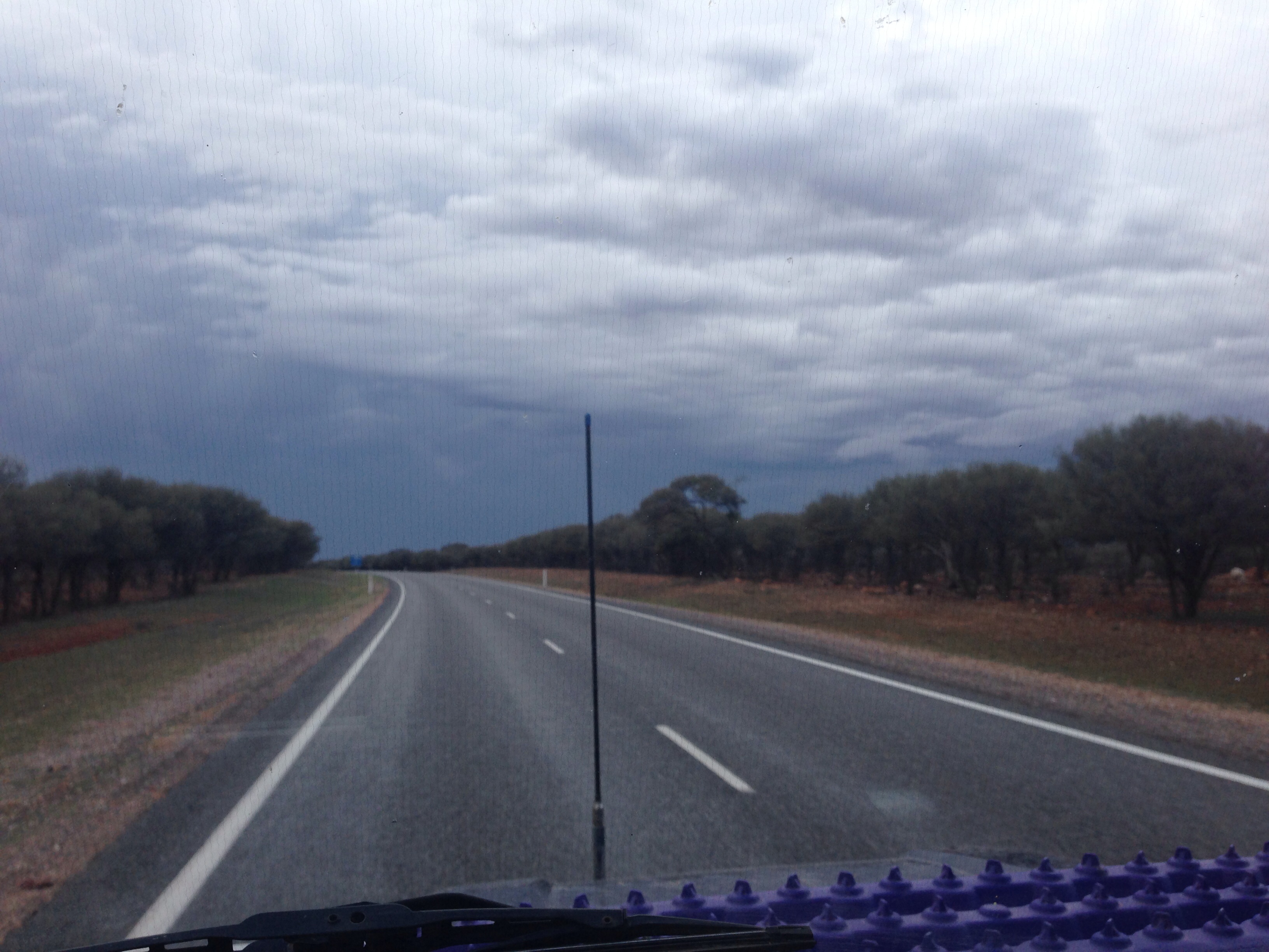
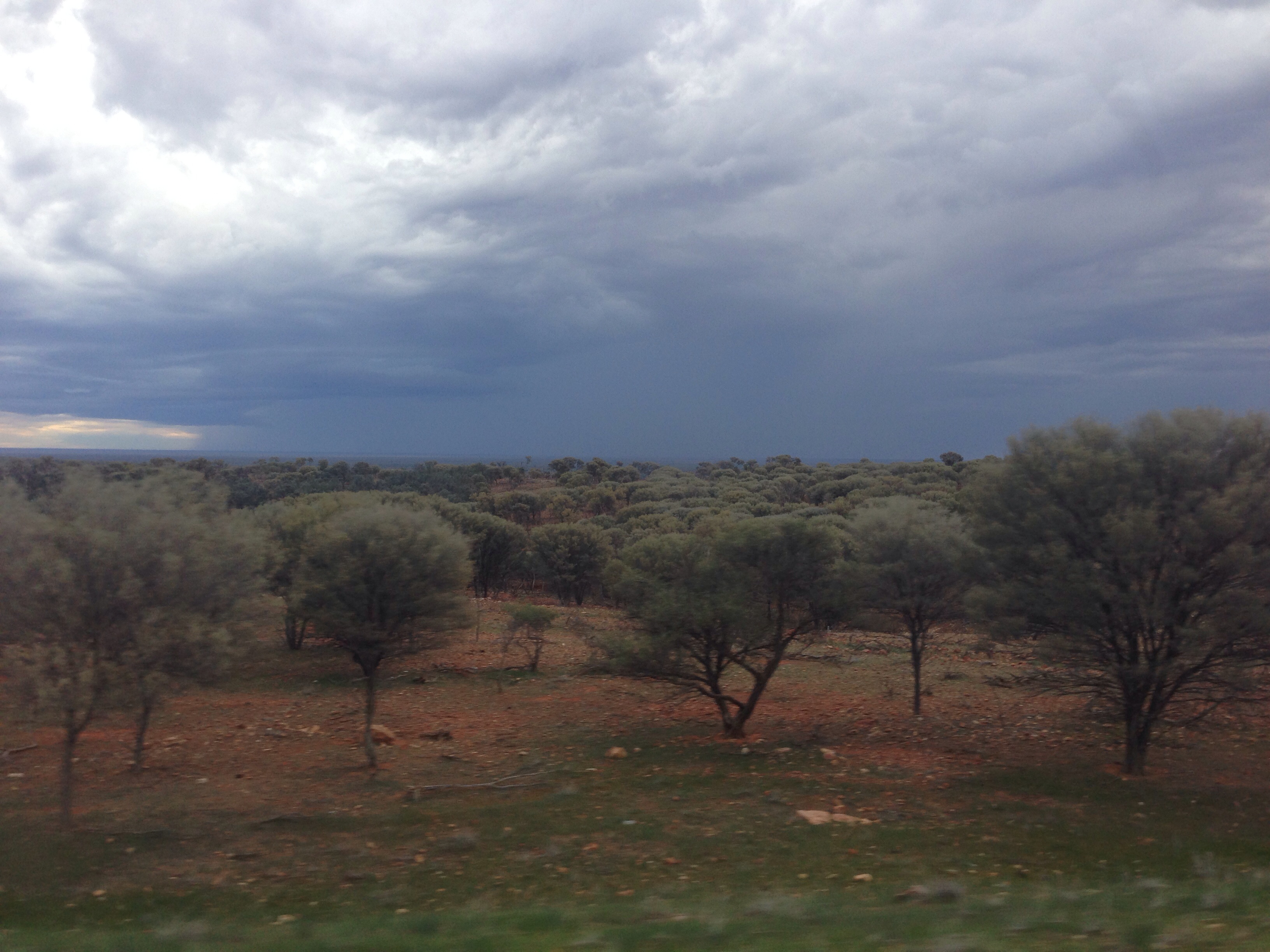
Tomorrow we’re anticipating a bit of a transit day, getting some more miles under our belt and getting further north.