One of the views of the Macdonell Ranges from the Ross Highway
Spent today going for a bit of a trundle around the “East Macs” before returning to Alice Springs for the night.
We’d thought a day would be plenty but in all honesty we could have spent 2-3 days there and probably still not visited it all.
We started our day by getting lost in Alice Springs, trying to find a fuel station and then, having refuelled getting lost again trying to get back to the Ross Highway.
When we did eventually “find” the Ross Highway we headed east for the 96km to Arltunga. The first part of the highway is normal 2 lane single carriageway but before long in turns into a layout we’d previously seen on the start of the Gibb River Road. It’s essentially a 2 lane unsealed road but with a single lane of Tarmac running down the middle. This leads to something resembling a game of chicken when there are cars coming the other way. You both have to pass with your offside wheels on the Tarmac and near side wheels on the dirt, it’s just a matter of staying fully on the Tarmac for as long as you can 🙂 I thought I was quite good at it, winning most of the battles but then a road train put me in my place ! Eventually we left the Ross Highway for part of the Binns Track, an unsealed road that takes you the final 33km to Arltunga.
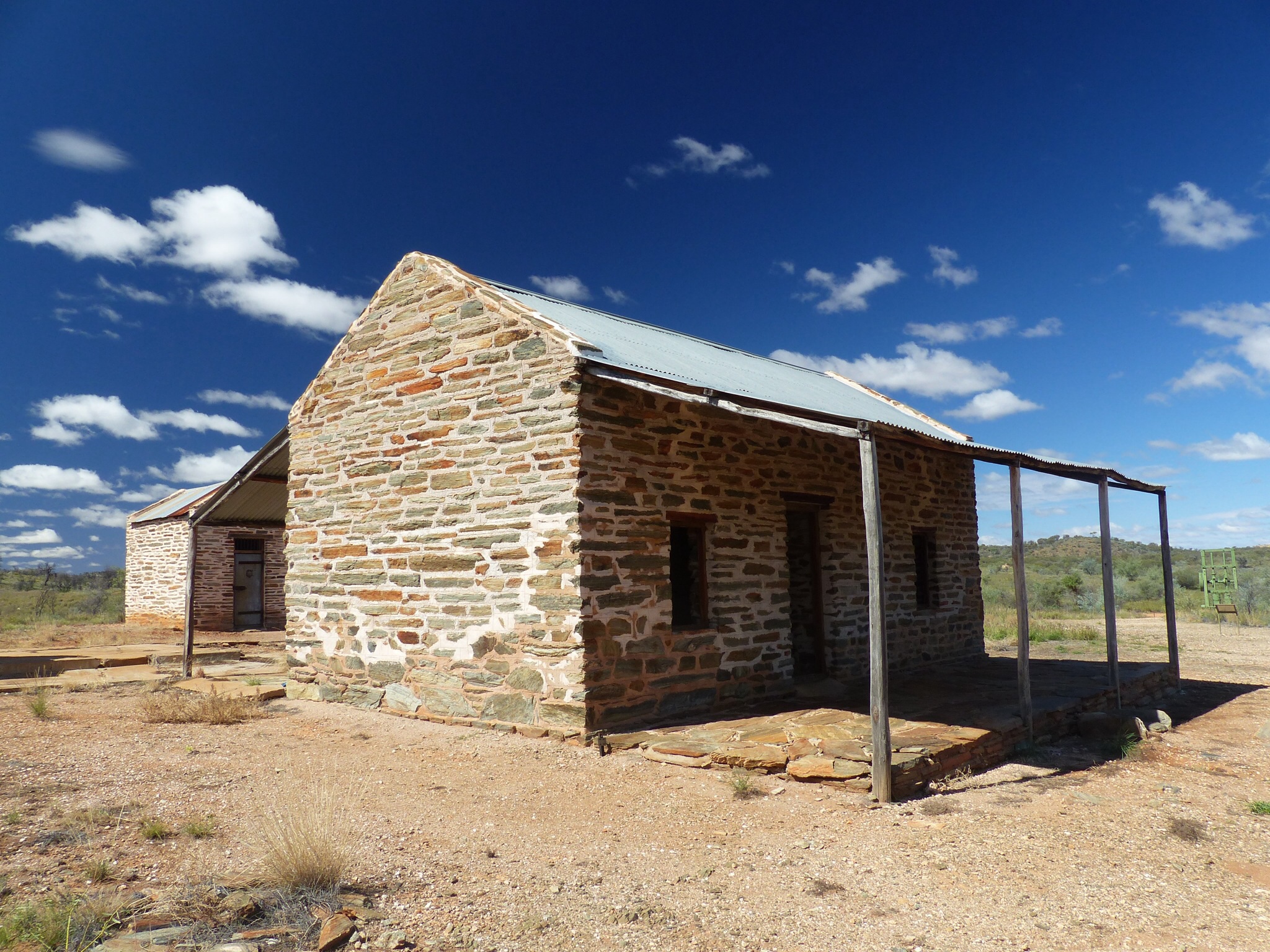
The police house and prison cell
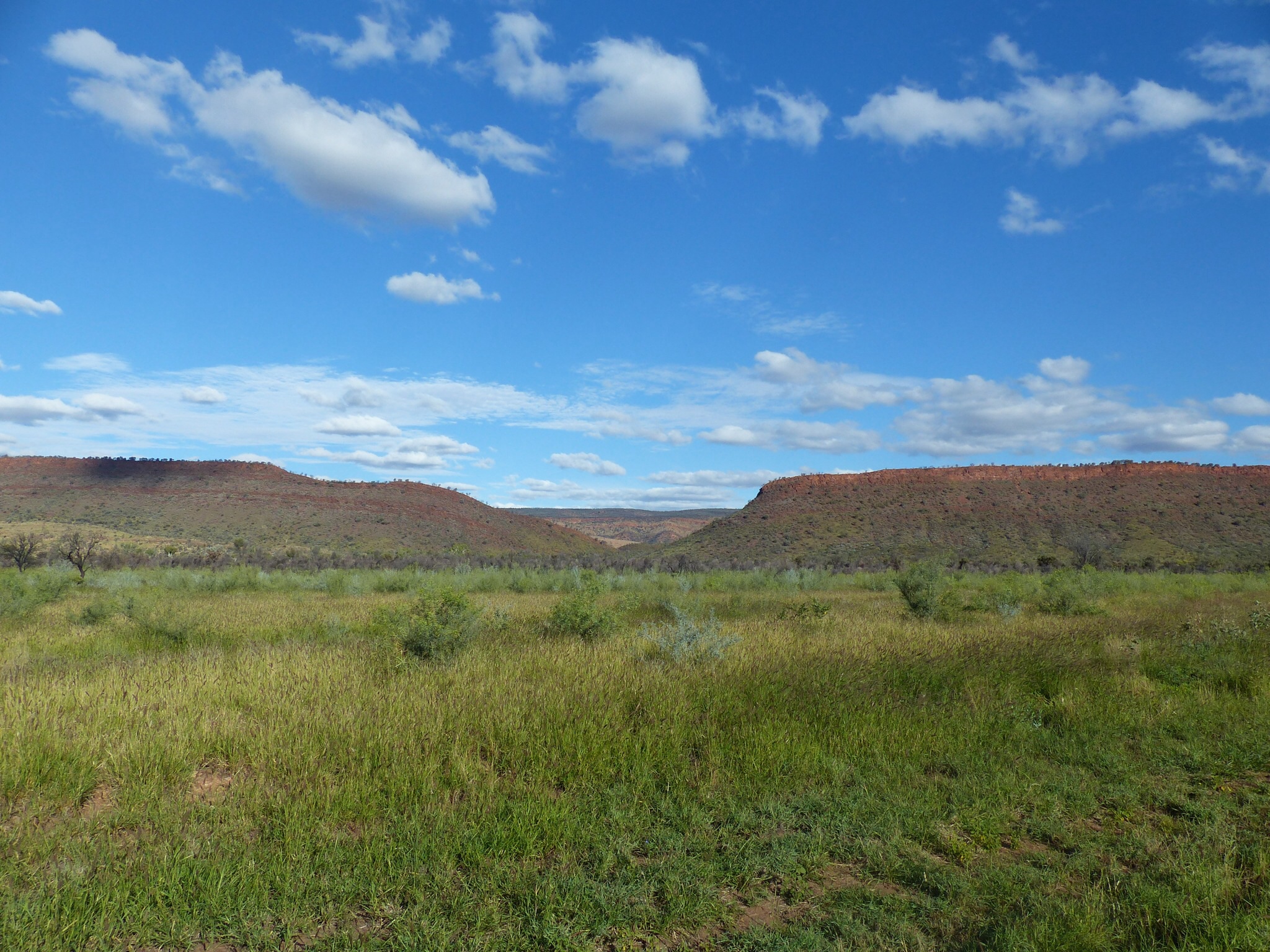
The scenery either side of the road is fantastic, lots of greenery at the moment against a backdrop of red sandstone mountains.
Arltunga itself is an abandoned gold mining town, founded in the late 19th century and abandoned in the early 20th century. Many of the buildings have been rebuilt in an effort to conserve the site. We spent a few hours there visiting the different sites and exploring the buildings and machinery. We got the feeling that at some point the reserve had an injection of cash to build the info centre and museum, rebuild/conserve the buildings etc… but it seems to have lost that momentum. Still fascinating though and in some ways figuring it out for ourselves is more interesting, especially for industrial archeology.
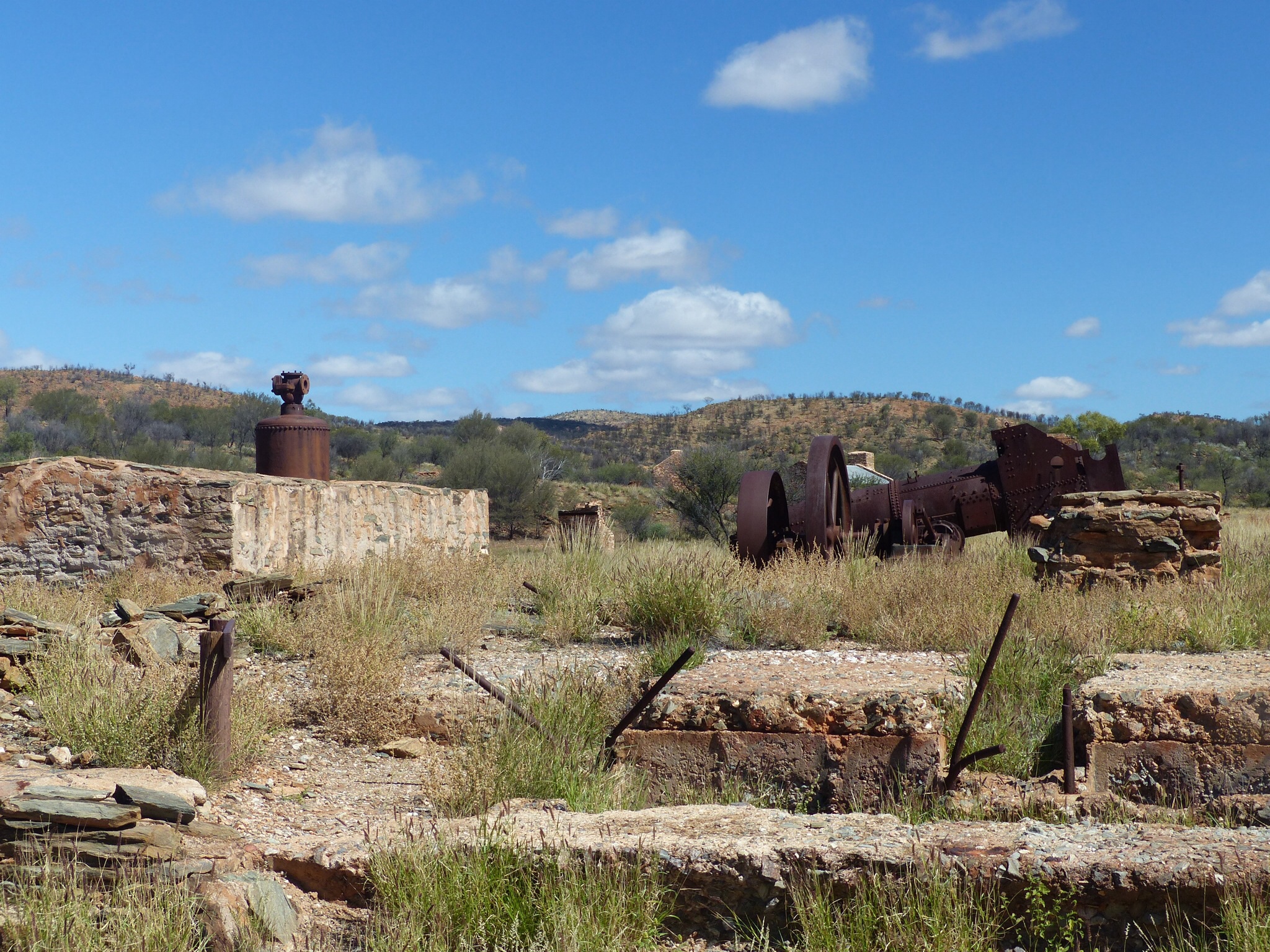
A view of the Cornish boiler, horizontal engine and foundations for the quartz battery
From Artlunga, rapidly running out of day time at this point, we headed back to the Ross Highway before diverting for a trip to the N’Dhala Gorge. There are two attractions that brought us to the N’Dhala Gorge, the first is the 4×4 only track that takes you there and then the Aboriginal artwork when you get there. The track is about 11km long and meanders alongside the Ross River. In places the track crosses the river and on some of the crossings the water is quite deep ! (See video at the bottom of this post)
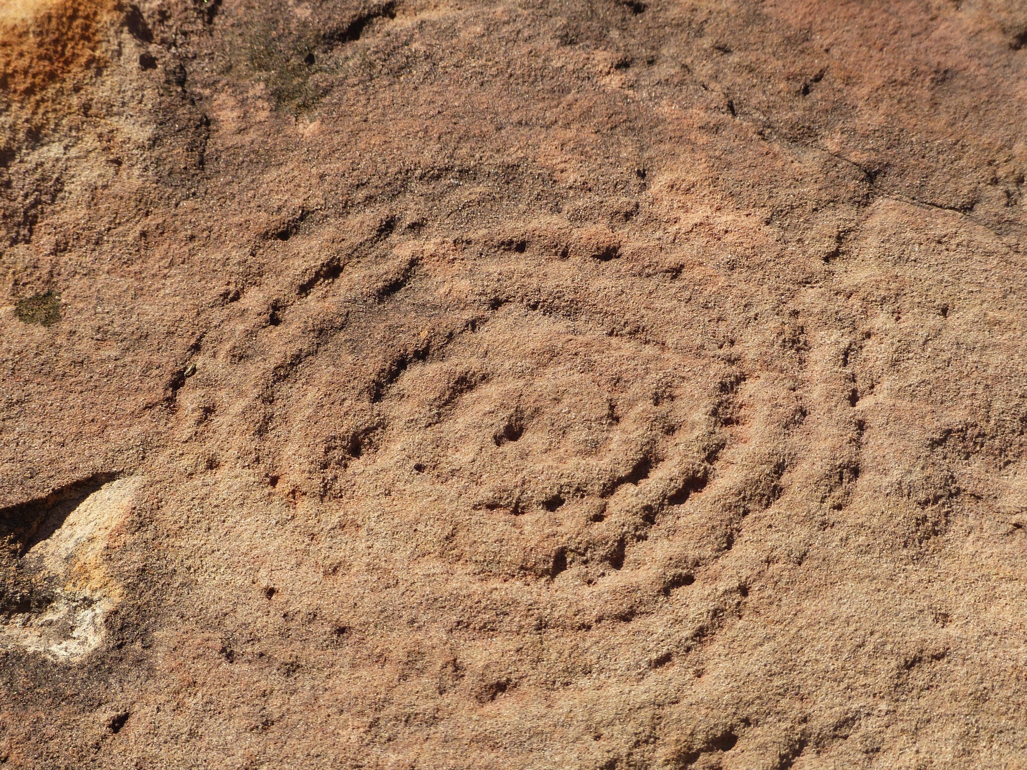
Aboriginal petroglyph
When we got to the gorge we just had time to complete the 1km gorge walk and get back again so we could retrace our steps to arrive in Alice before it got dark. As a result it was a bit more hurried than we’d have liked but we saw some of the petroglyphs in the gorge, carved into boulders and apparently telling a story.
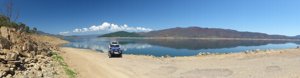
On the way back to Alice we got stuck behind a slow moving vehicle that turned out to be a 110 Defender towing a Toyota with a trailer. With all the ribbing we’ve been getting about Land Rover reliability it was quite a poetic sight – obviously Pam took a picture 🙂
Tomorrow we still intend to head west but have yet to decide if we’re going to take 2 days to get to Kings Gorge via the West Macs and the Red Centre Way 4×4 track or if we’ll head direct to Kings Gorge on the surfaced roads. Either way we probably won’t have internet access for a few days.
http://www.youtube.com/watch?v=Vn7iaJlh-eA&sns=em