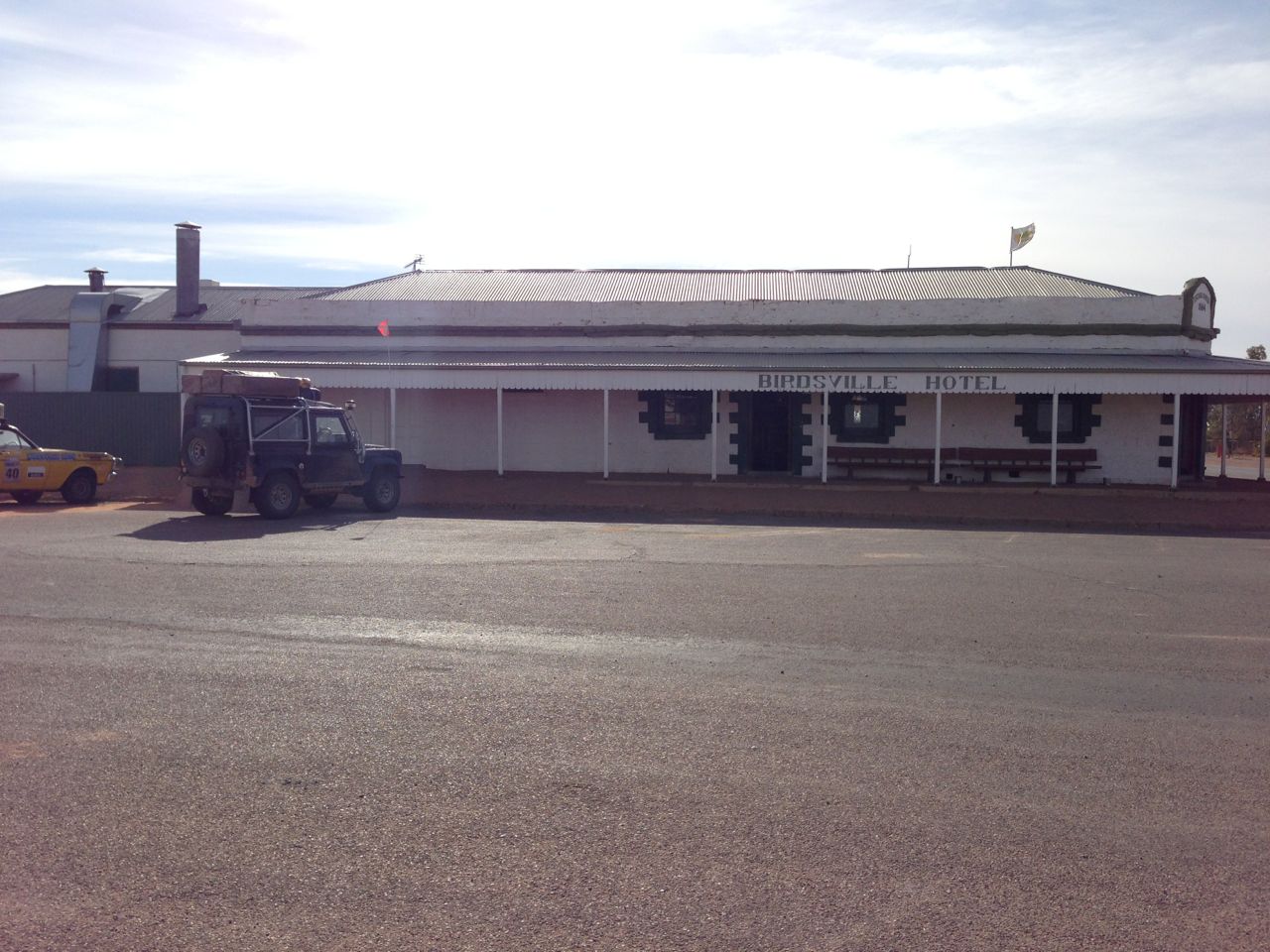
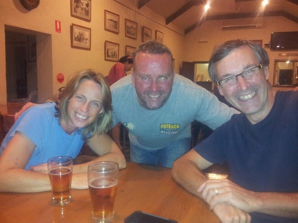
 Mal and his group arrived late yesterday afternoon at Birdsville. We’d spent the day at the camp site waiting for news from him and by the time it got to about 5pm we’d decided to head to the pub. As we crossed the empty lot opposite the pub a motorbike appeared, heading in on the road from Big Red. Before long more appeared and we figured from the colours of the bikes, the number and the timing that it had to be them.
It sounds like they had a much tougher time in the crossing than we did with a few minor injuries, some lost kit and one of the bikes had to be left in the desert with a fried clutch. It’ll be picked up by Mount Dare and the rider got a lift with a passing 4×4 to Birdsville.
Anyway, after they’d all showered, changed and sorted themselves out we had a great evening swapping tales of daring do over a meal and a plentiful supply of alcohol.
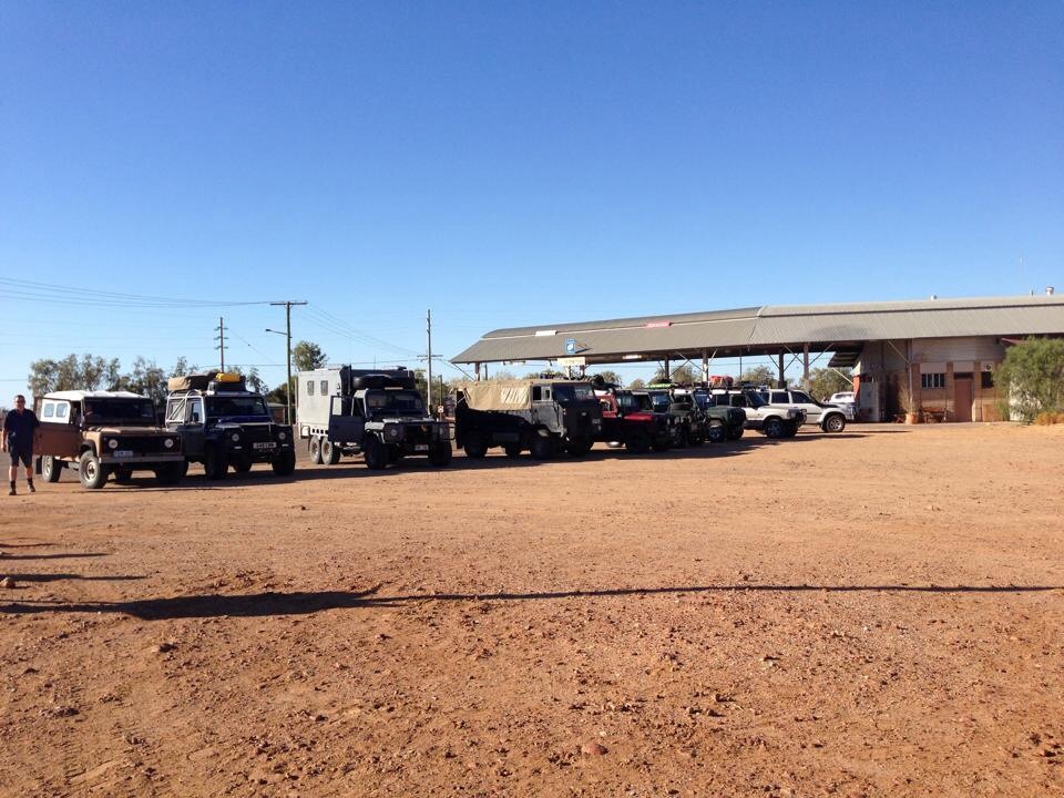
An impromptu line up of Land Rovers in Birdsville
This morning we started the day early with breakfast at the Birdsville Bakery. Though we’ve kind of been putting it off we couldn’t on our last day, miss out on trying their famous curried camel pie. Not my usual breakfast fayre but it was actually pretty good ! We may not have seen any camels in the outback but at least now we can say we’ve eaten one 🙂
Yesterday a group of Land Rover owners had turned up at the camp site and we’d had a quick chat with most of them. There was even a 101 and a Lightweight in their group (types of Land. Rover, for the initiated). This morning as we were filling up we met up again and they’d also picked up a very nice Perentie (6×6 Australian military Land Rover) camper conversion that looked the business. A quick photo line up was arranged before we headed our separate ways. They were heading for the Hay River track and we headed east on the Birdsville Development track before heading South on the Cordillo Downs Road.
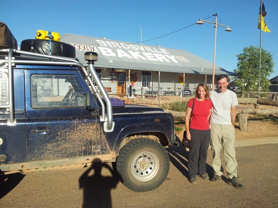
Last call at the bakery for curried camel pies !
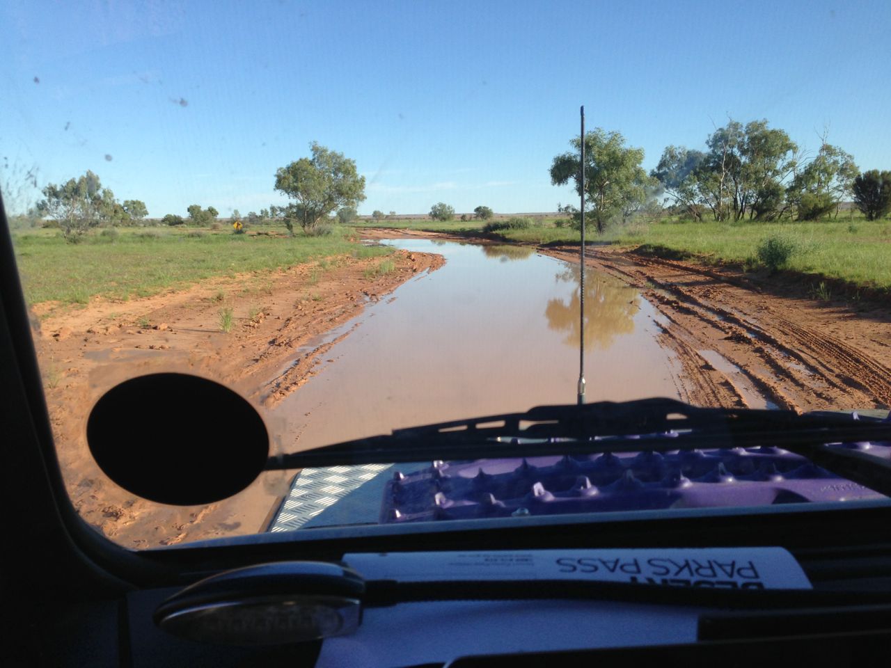
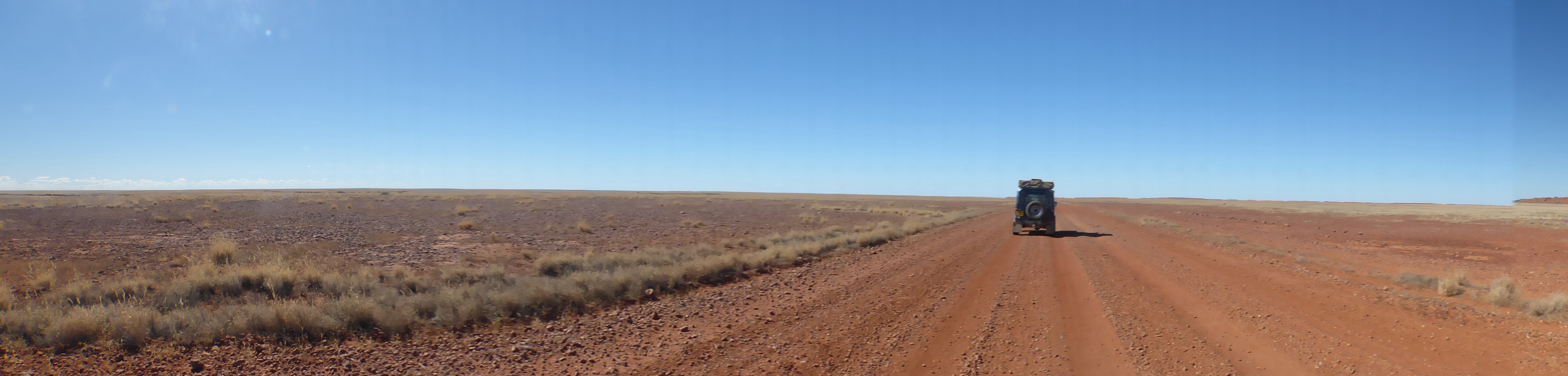
We covered 422km today, again on unsealed roads apart from a few short stretches of sealed road. On the whole the road wasn’t too bad though with only a few areas that had washouts and corrugations to contend with. We managed to average 70kph over the day so it was pretty good going compared to some roads we’ve been on recently.
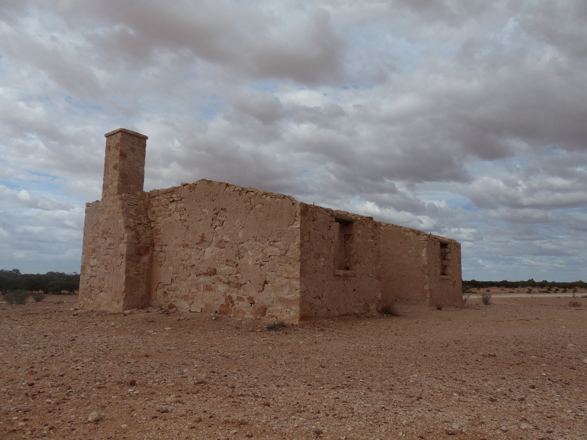
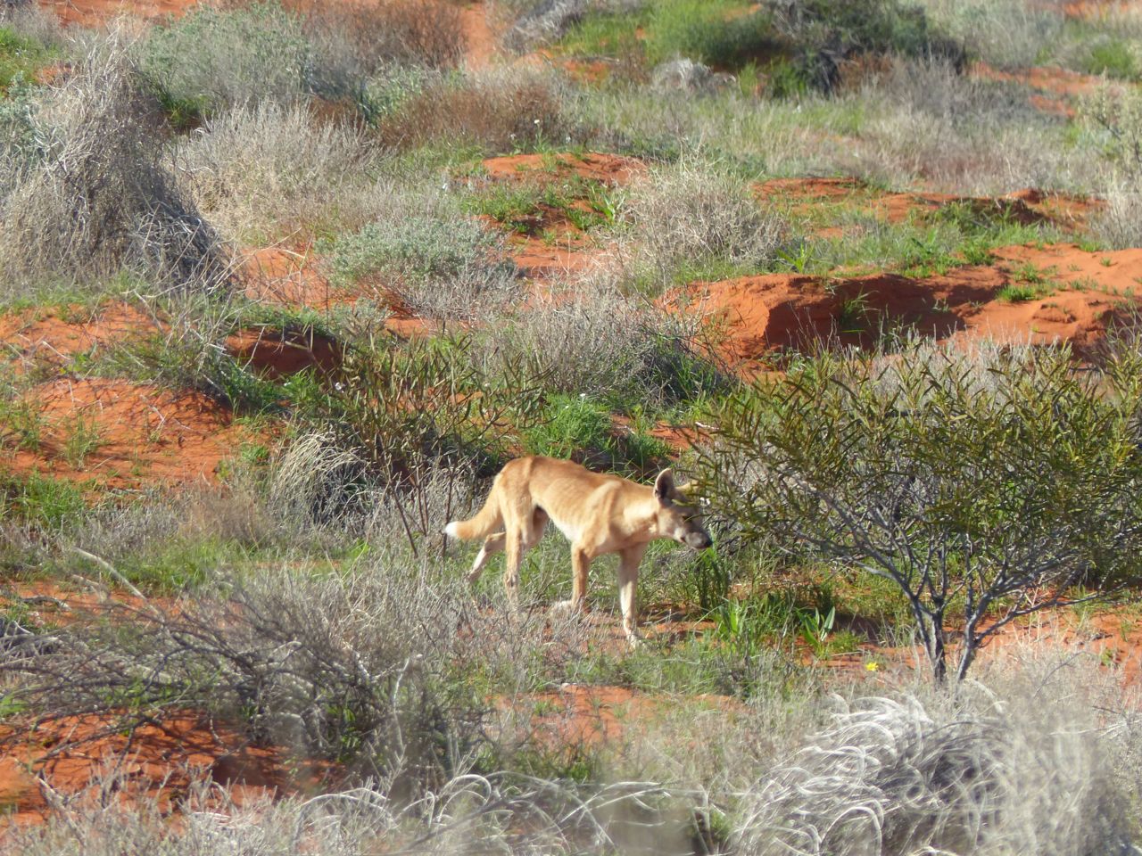
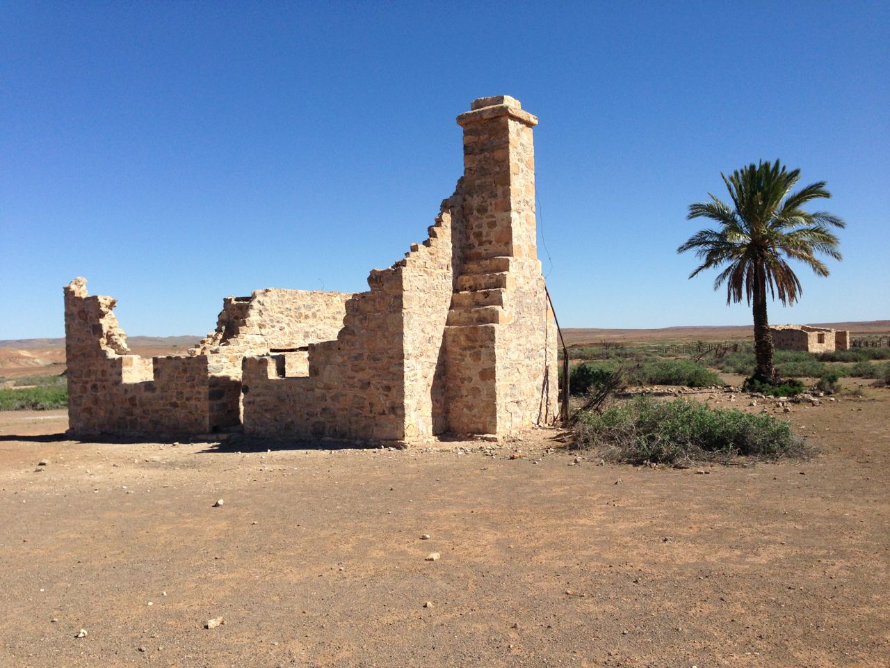
We stopped off along the route at the Cordillo Downs Homestead where they have “Australia’s biggest shearing shed”. In it’s time they hand sheared 82000 sheep in a week in the shed with 120 stations (I think that’s what the info board said !). They had to change from sheep to cattle in the 1920’s when the Dingo population was killing off all the lambs despite a massive cull of the Dingos and a bounty on each one. Nowadays it’s looking a bit sorry for itself but the homestead allow public access to it as part of the heritage of the area.
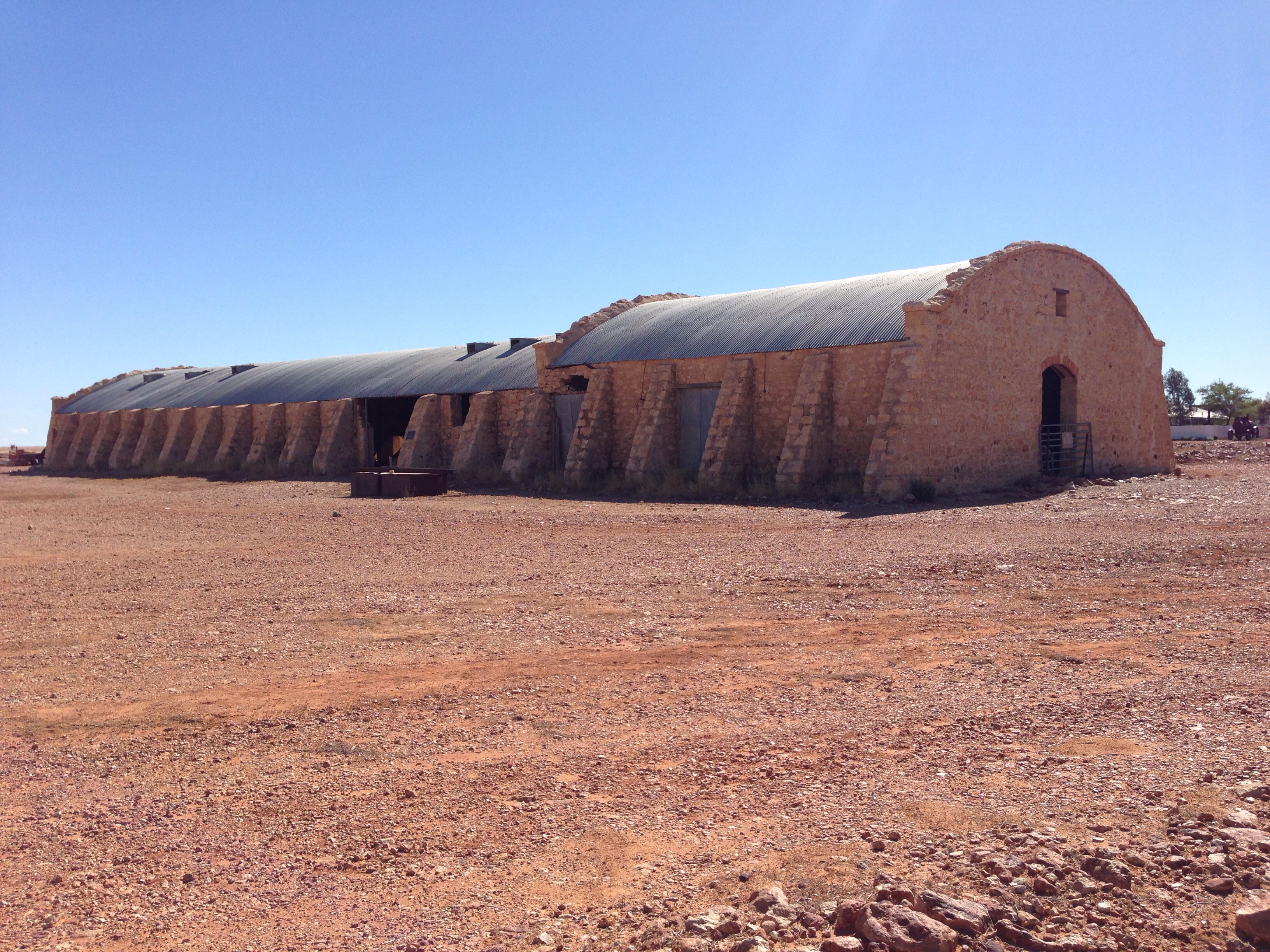
Australia’s biggest shearing shed
We arrived at Innaminka sometime after 3pm and have set up camp on “The Town Common” which has a couple of drop toilets and allows camping on it for a small donation in the honesty box of $5. It just so happens that there is a pub within walking distance but, sadly, no phone coverage so I’ll have to post this when we find a phone signal.
Tomorrow we’ll probably head to Cameron Corner unless we decide to head into the Flinders which currently we’re not intending to do but tomorrow we can still change our minds…
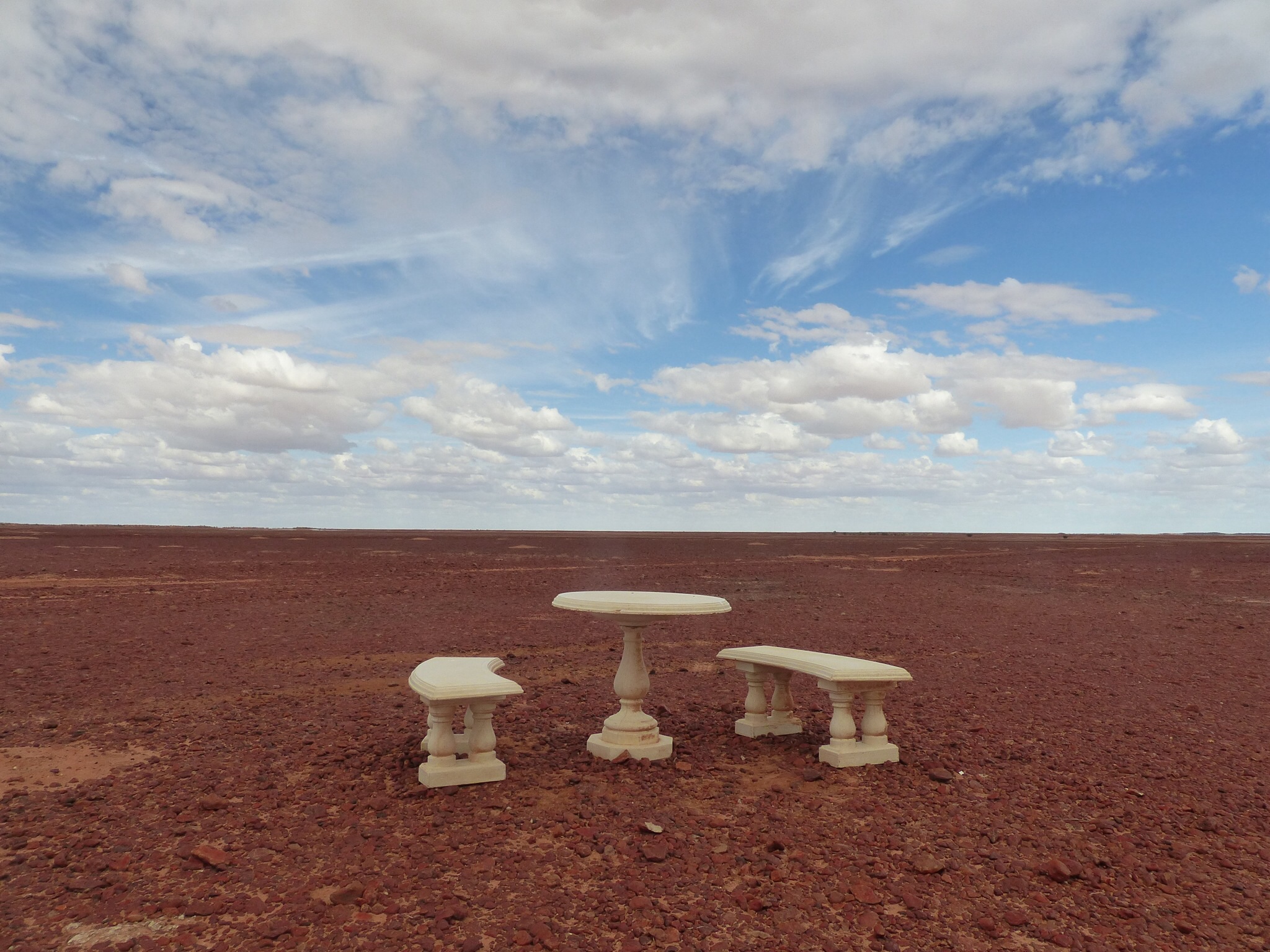
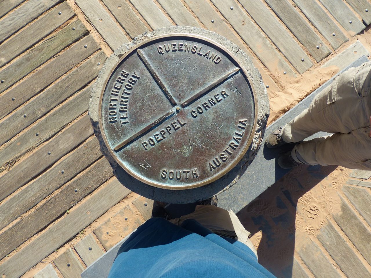
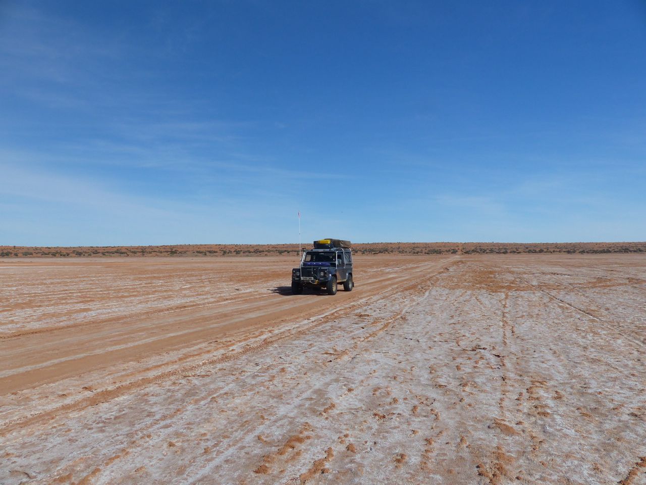
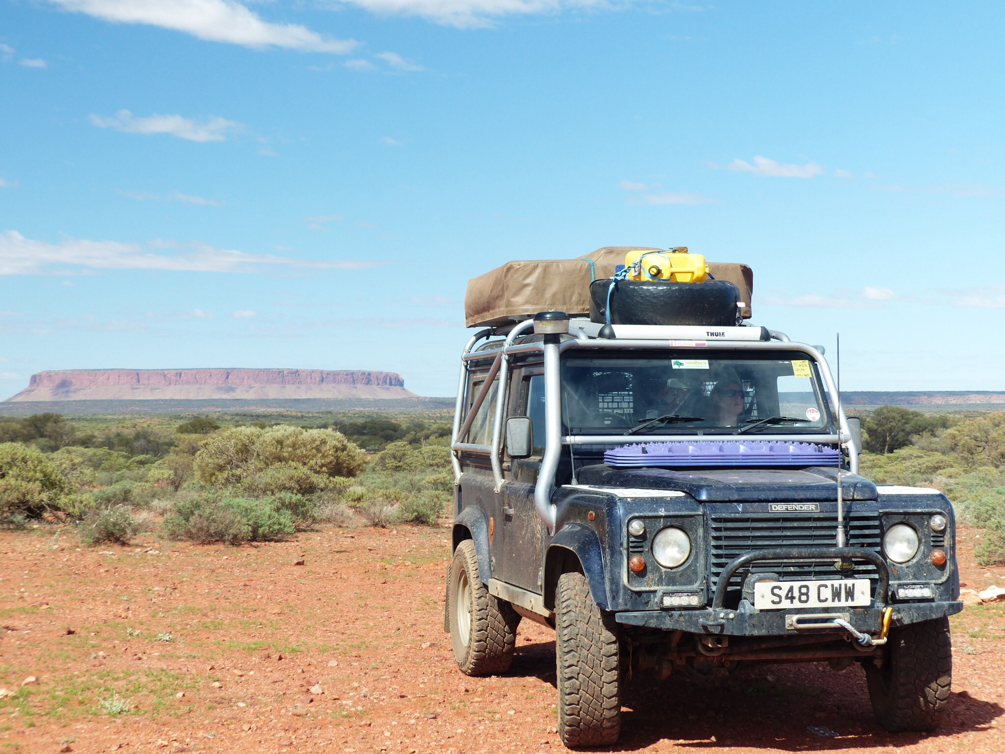
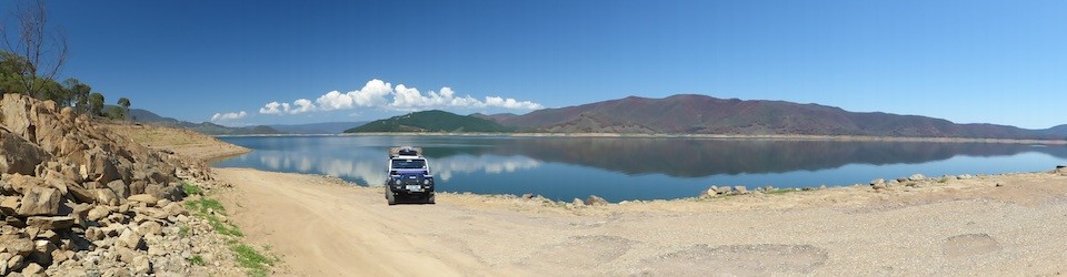
Sometimes when you’re driving these roads you start to feel very insignificant !