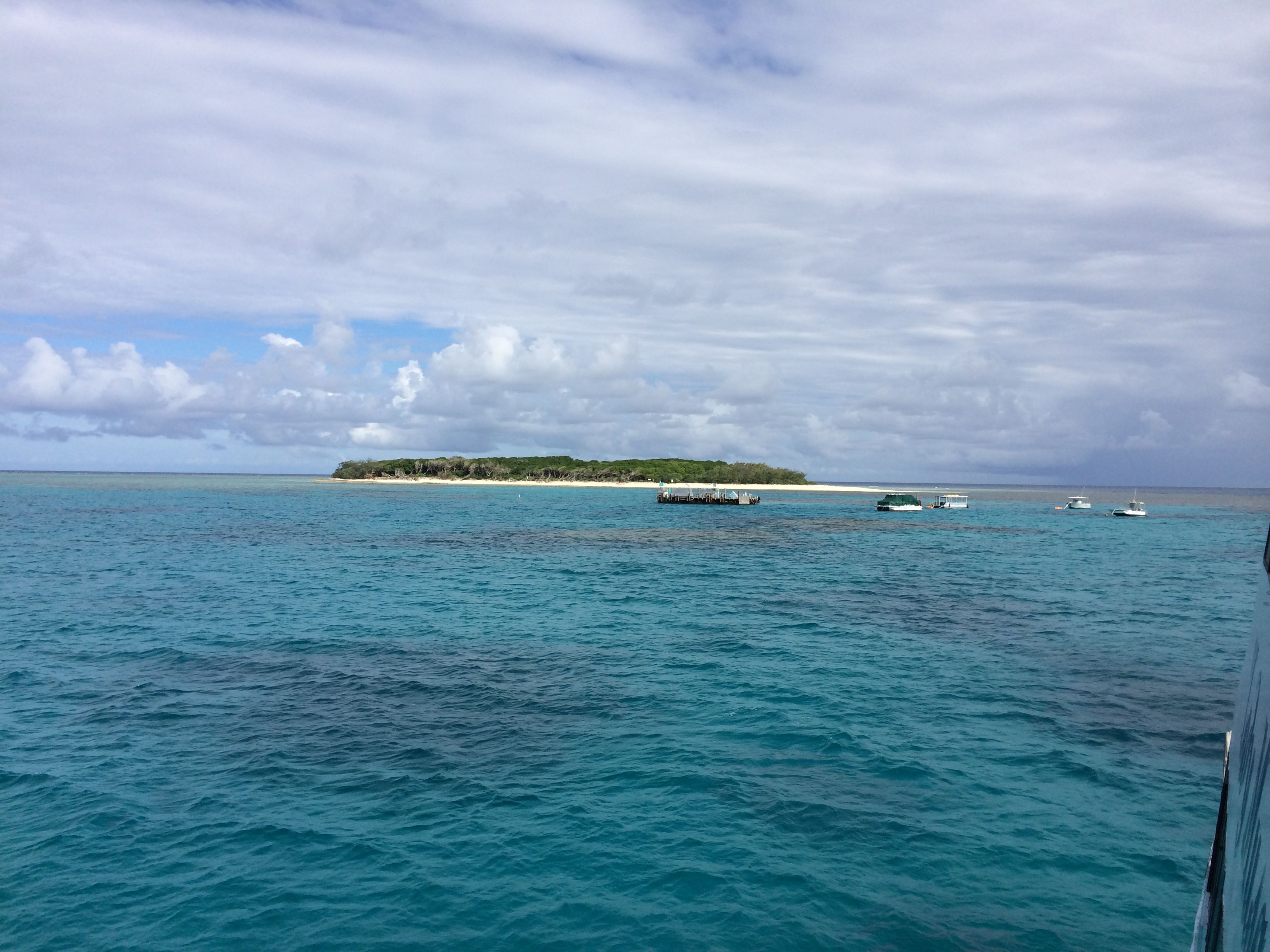
Inside the lagoon at Lady Musgrave Island, approaching the pontoon. The dark patches in the water are the shallow reefs inside the lagoon.
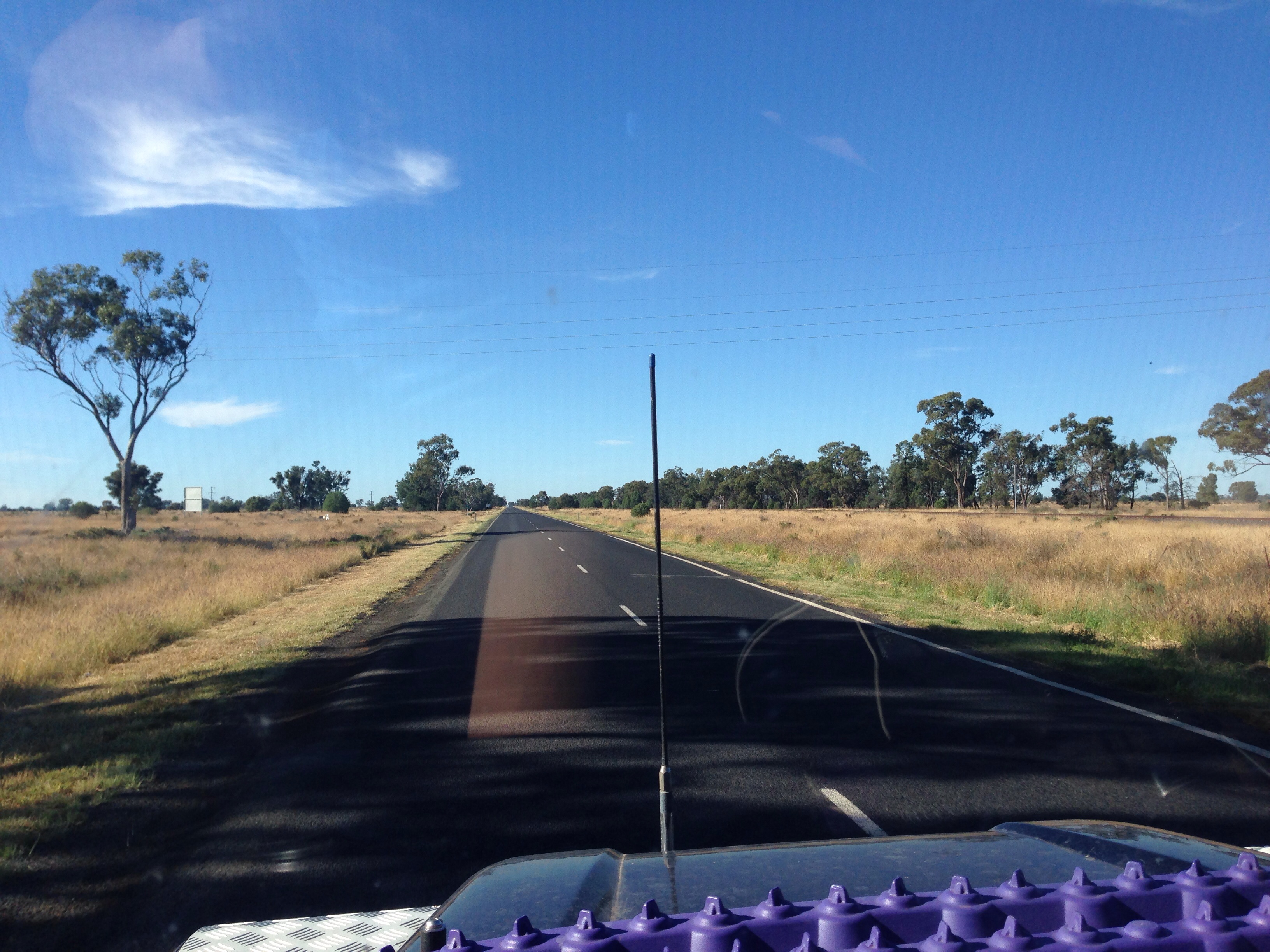
Up bright and early this morning to get picked up by the bus to the marina. We’d blown some of our “organised trips” fund on a day cruise to Lady Musgrave Island, part of the Great Barrier Reef. The island is 60km out to sea from Seventeen Seventy and the day cruise uses a fairly large catamaran that acts as transport and is also a base for the day. The weather looked a bit ominous to start with, big dark clouds seemed to lay in our path.
The trip out to the island was pretty rough with a decent chop and with no stabilisation the catamaran made for an uncomfortable ride during the 1.5 hour trip to the island. Not sure exactly how many sick bags they had on board but a number of passengers put a decent sized dent in their stock levels during the journey ! Even Pam succumbed and she’s not normally effected by sea sickness.
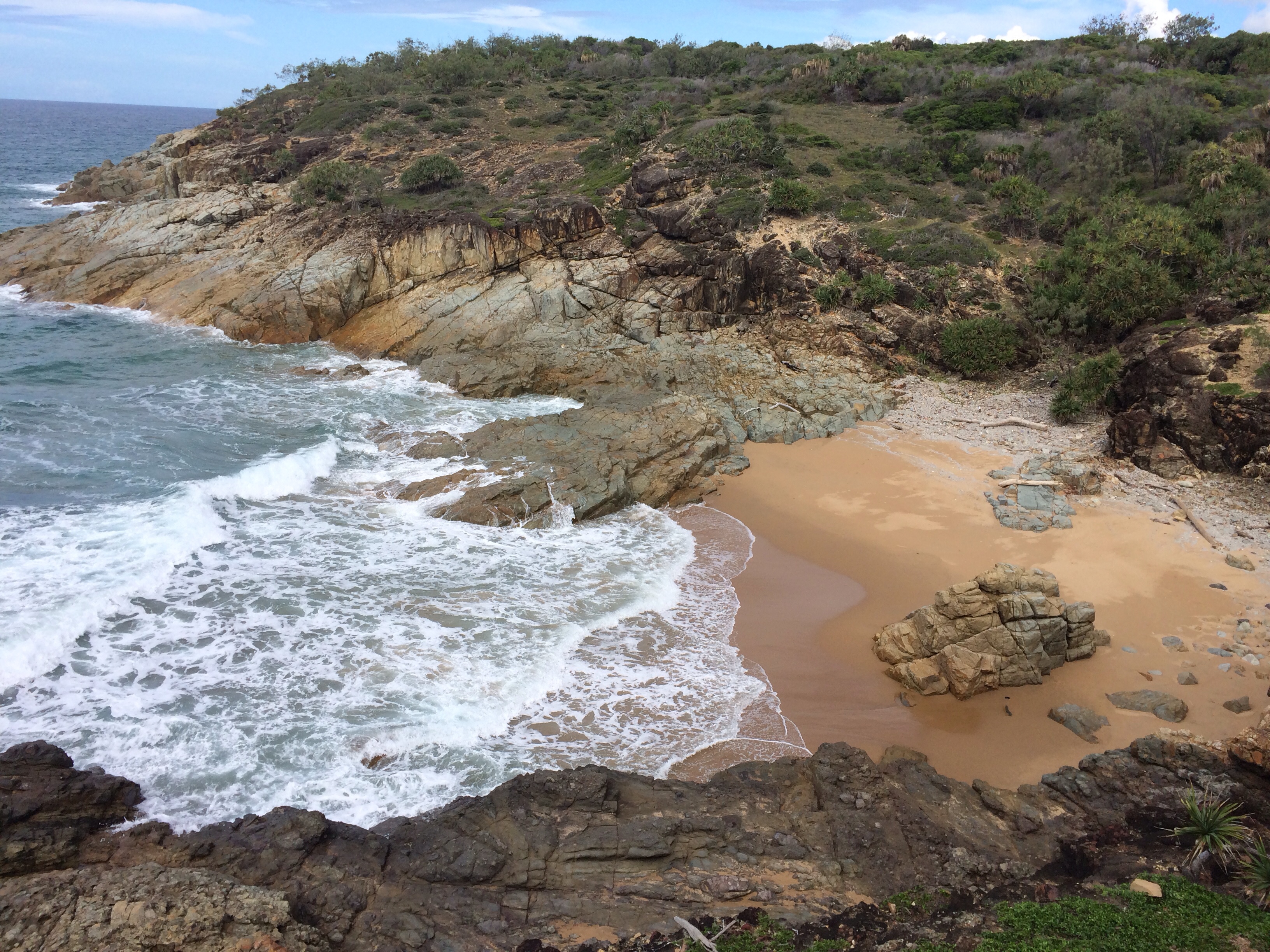
Lady Musgrave Island is composed of a reef that encloses a lagoon in the centre of it. At the westerly end of the reef is the island itself which stands at about 2 metres above sea level at it’s highest point. The beaches and the island itself is formed from the remains of coral from the reef. There is a small navigable passage into the lagoon at the easterly end of the reef and this allows the catamaran to enter the lagoon and moor up alongside a pontoon there.
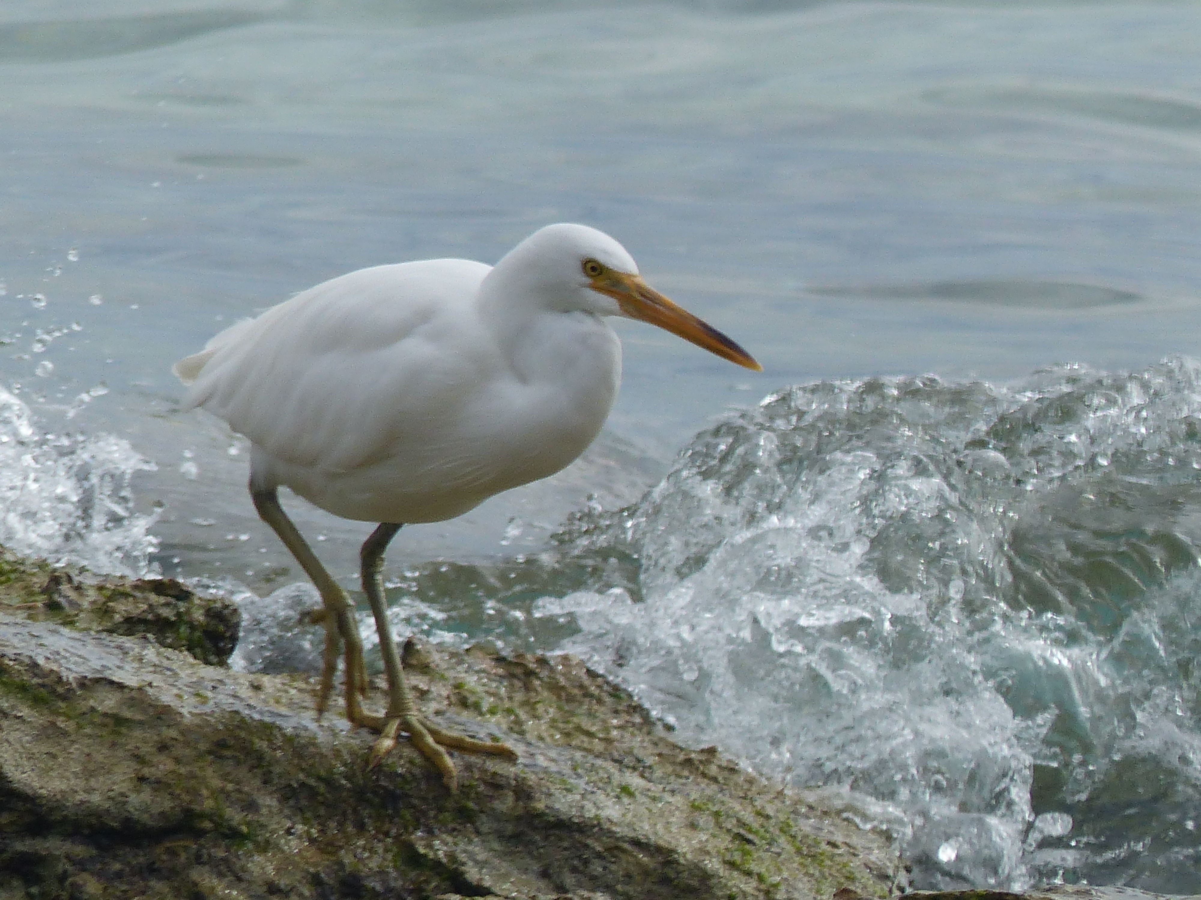
An Egret on the island, a smaller species than those on the mainland.
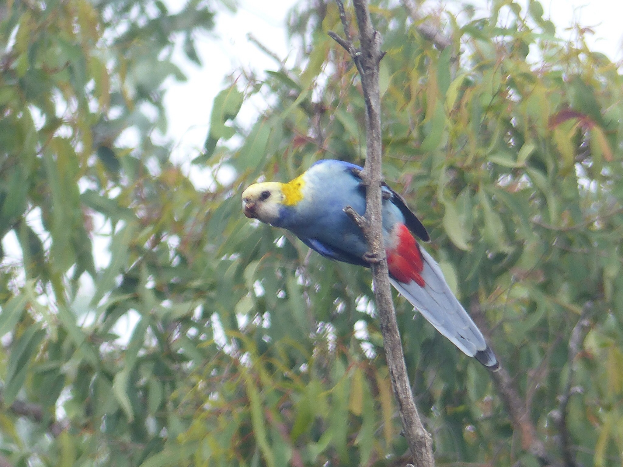
After mooring up at the pontoon and with the sun finally making an impression we were ferried to the island for a guided walk. The island’s beaches are littered with shells and pieces of coral of numerous varieties. You’re allowed to pick them up and look at them but none of the coral or shells can be removed from the island. Inland the island is covered in trees, many of which are of a species not found in mainland Australia as the seeds have been transported there by migrating birds.
After the guided walk we were picked up from the beach by the glass bottomed boat for a tour around the corals. This was similar to the tour of the Ningaloo reef we’d had in WA. I’m far from being an expert but I thought the corals here didn’t look as vibrant or healthy as the Ningaloo reef corals. Perhaps they just have different species or the light is different or something, it was just an impression I got.
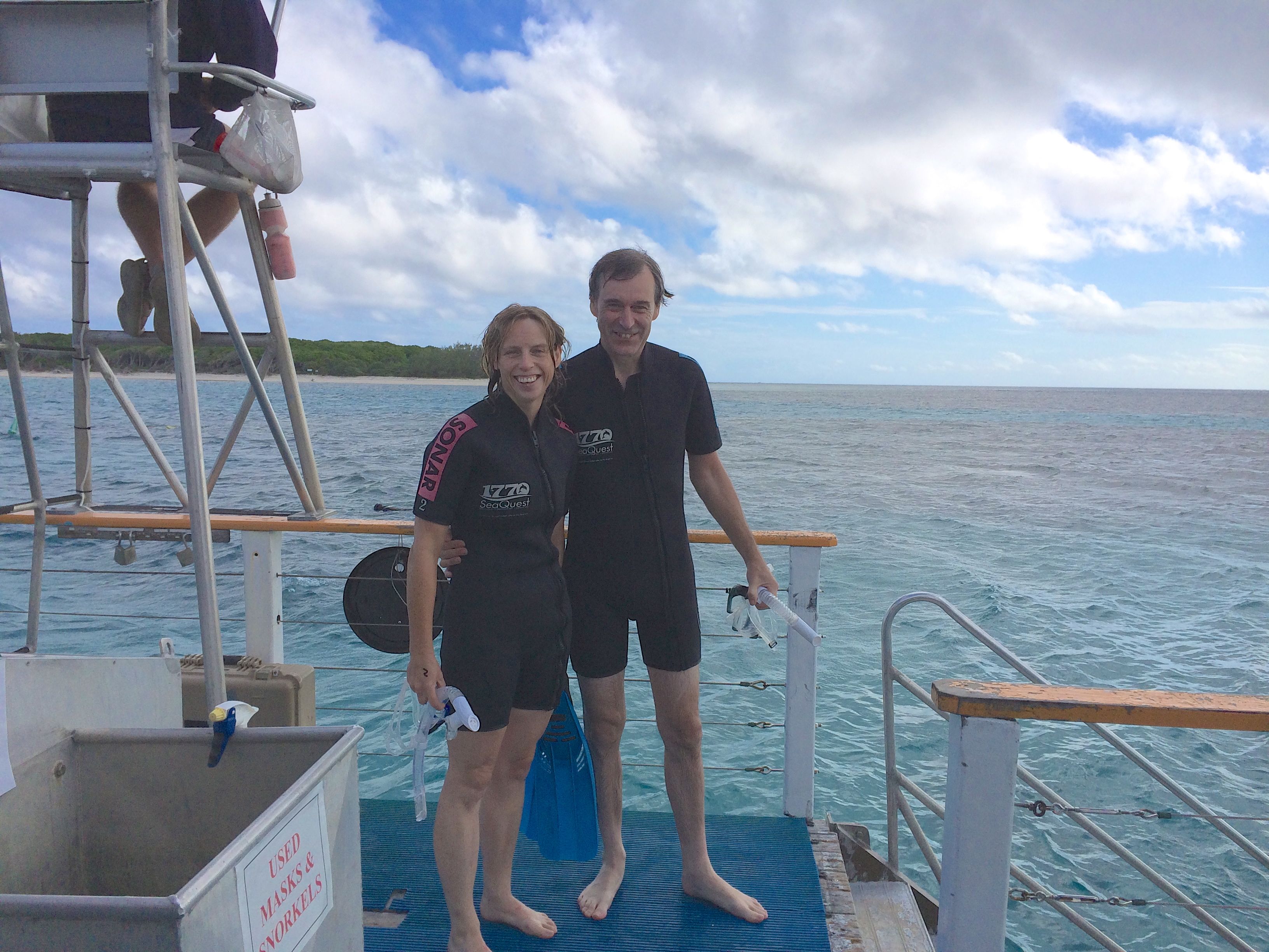
Stood on the pontoon, the island in the background.
Following the coral tour we returned to the pontoon and catamaran for lunch after which we had the option to try out or snorkelling gear again from the pontoon. We opted to hire wetsuits as they were cheap enough and it would make staying in the water for longer a bit more comfortable.
Once again we enjoyed the freedom and sights you get from snorkelling over the reef. It really is like floating on the surface of a large aquarium and if you just float with the current over the reef the activity going on all the time is engrossing.
There was a bit of a growing swell as well as the current and it was starting to get quite tiring moving into a new position against the current and trying to maintain a “head first” position into the swell so your snorkel didn’t get swamped. A lot rougher than Ningaloo had been so in the end we spent less time snorkelling here but still enjoyed the time we did spend. (I have no idea how long we spent snorkelling by the way !) By the time we’d finished
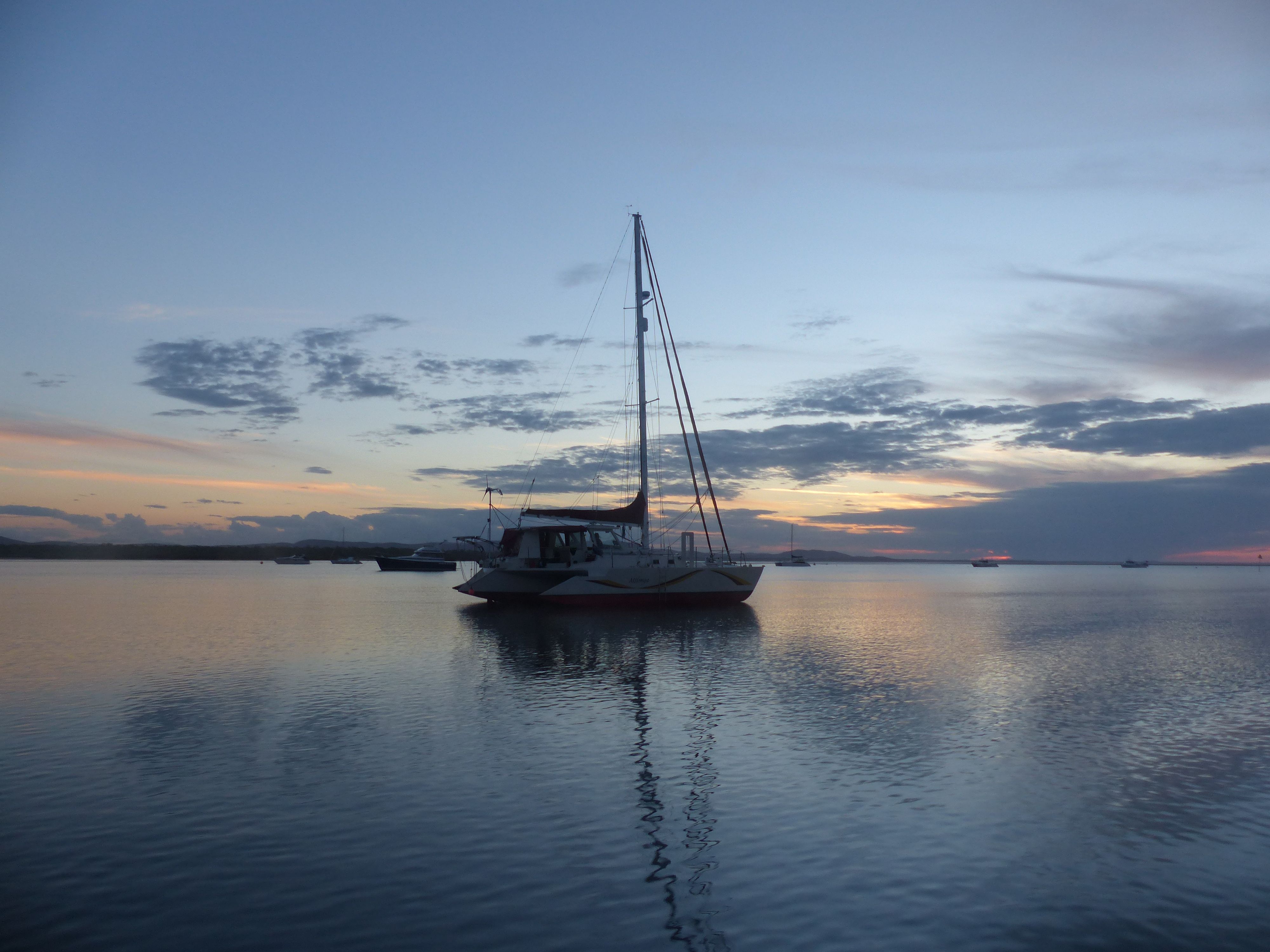
Returning to Seventeen Seventy at sunset, I couldn’t resist this shot of a random yacht with the sunset behind it 🙂
snorkelling the sun was beating down and the skies had cleared.
After changing and drying ourselves off, a quick snack of scones, jam and cream and we set off back to the mainland. The trip back was a lot smoother than the trip there, thankfully. Unfortunately we didn’t spot any whales (a bit early in the year for them) so we still have that particular box to tick if we can. We arrived back at Seventeen Seventy just as the sun was setting making for a very atmospheric return.
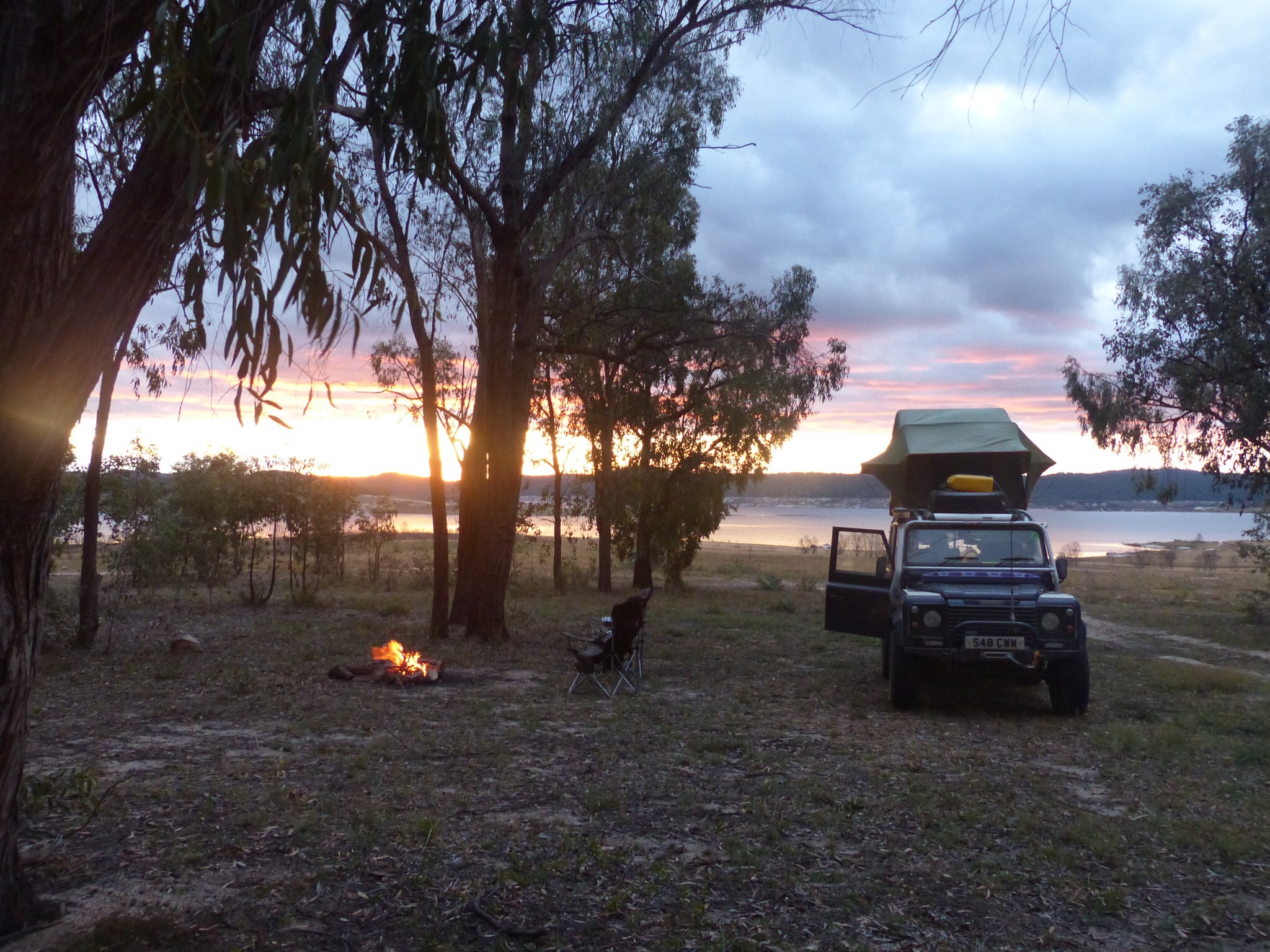
Returning to the camp site we decided to give the bistro at the site a try and a very good steak it was too !
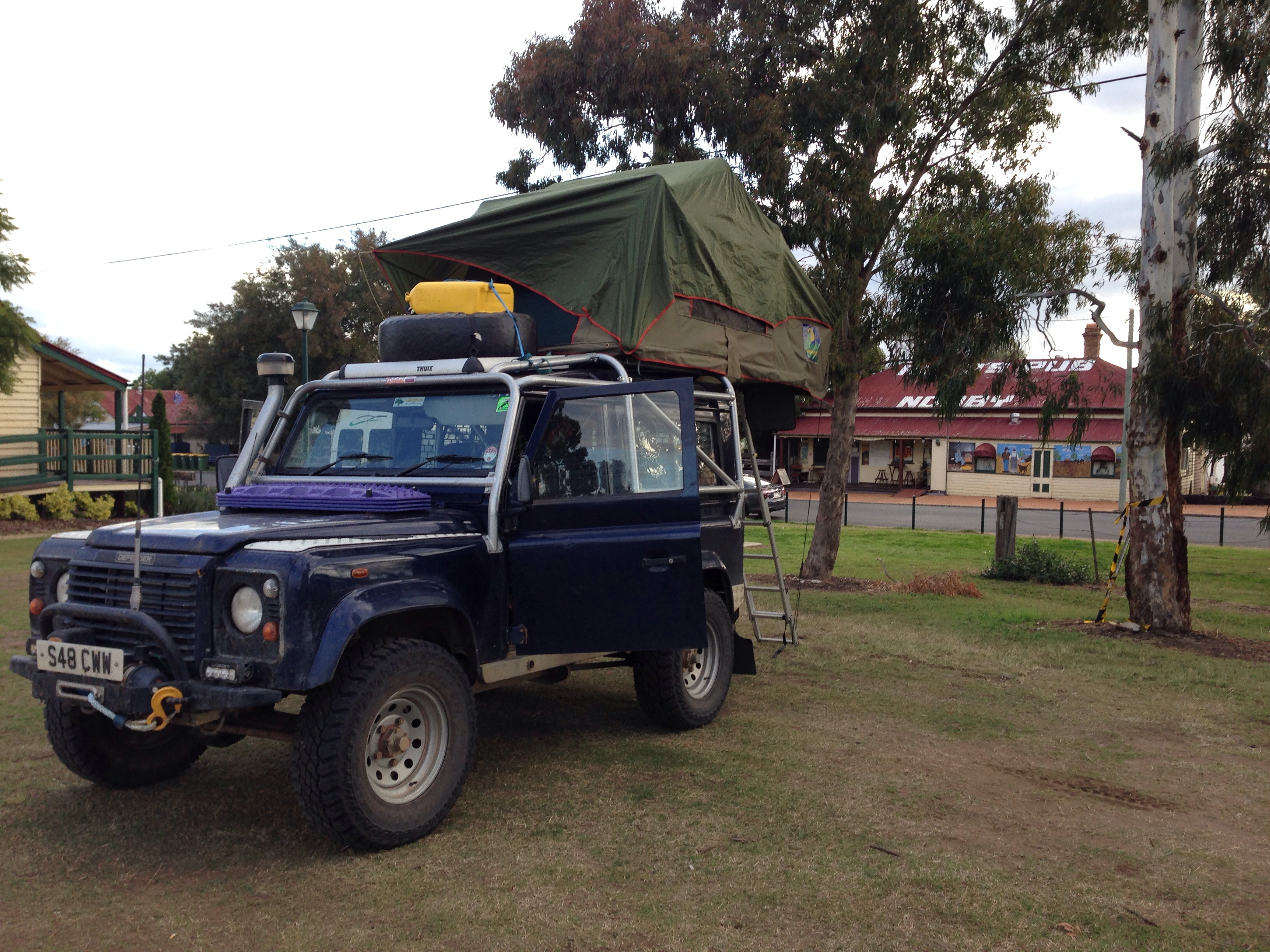
Tomorrow we’re going to head south again, probably not very far. We’re looking for a good spot for a rest day or two and as this weekend is a holiday long weekend (Queen’s Birthday) we might be best booking for 3 nights if we find somewhere as it’s likely to be busy at many of the camp sites.