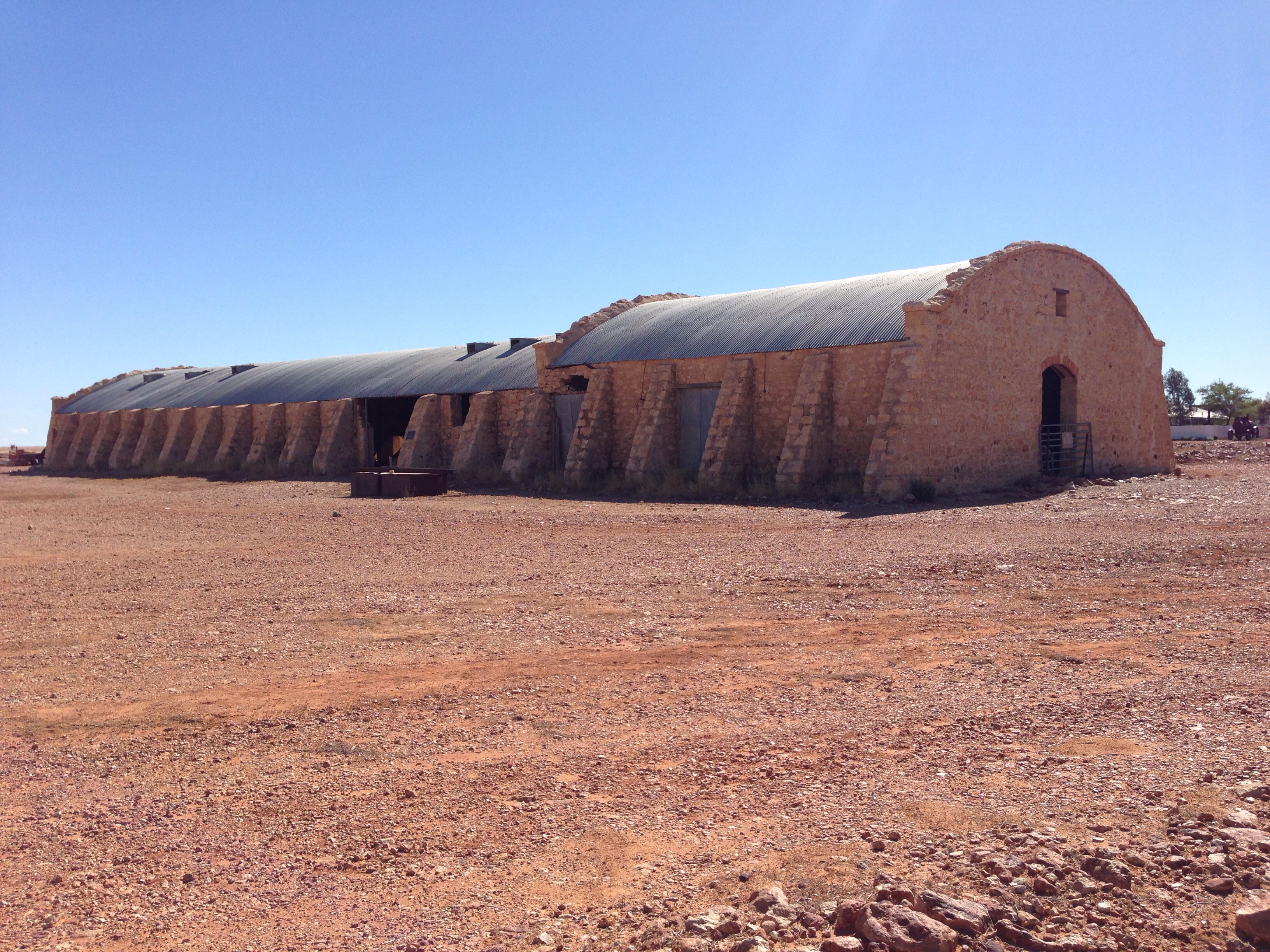
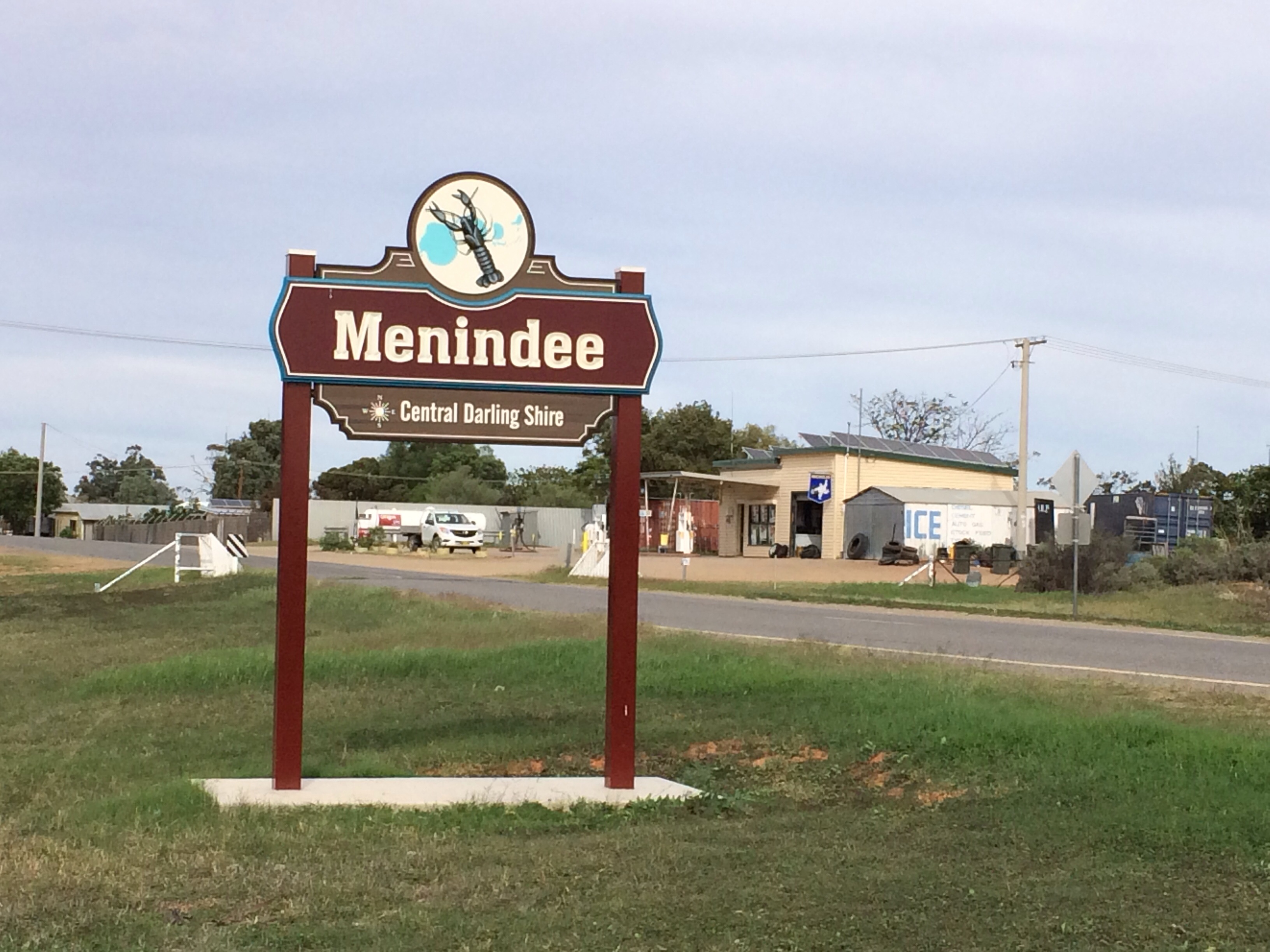
Menindee, the filling station is in the background.
Our first destination this morning was Silver City 4×4 to get the propshafts greased and to check that the whining noise the Land Rover has been making is actually the tyres and not a problem with the front axle.
It turns out that they’ve moved since the last time we visited (2008) and now have a shiny new ARB dealership and much bigger premises. Anyway, they squeezed us in and got the propshafts done and confirmed, as I’d suspected, the axle seemed fine and it was probably just the tyres that have feathered. I’ve already rotated the tyres so hopefully it’ll even out again.
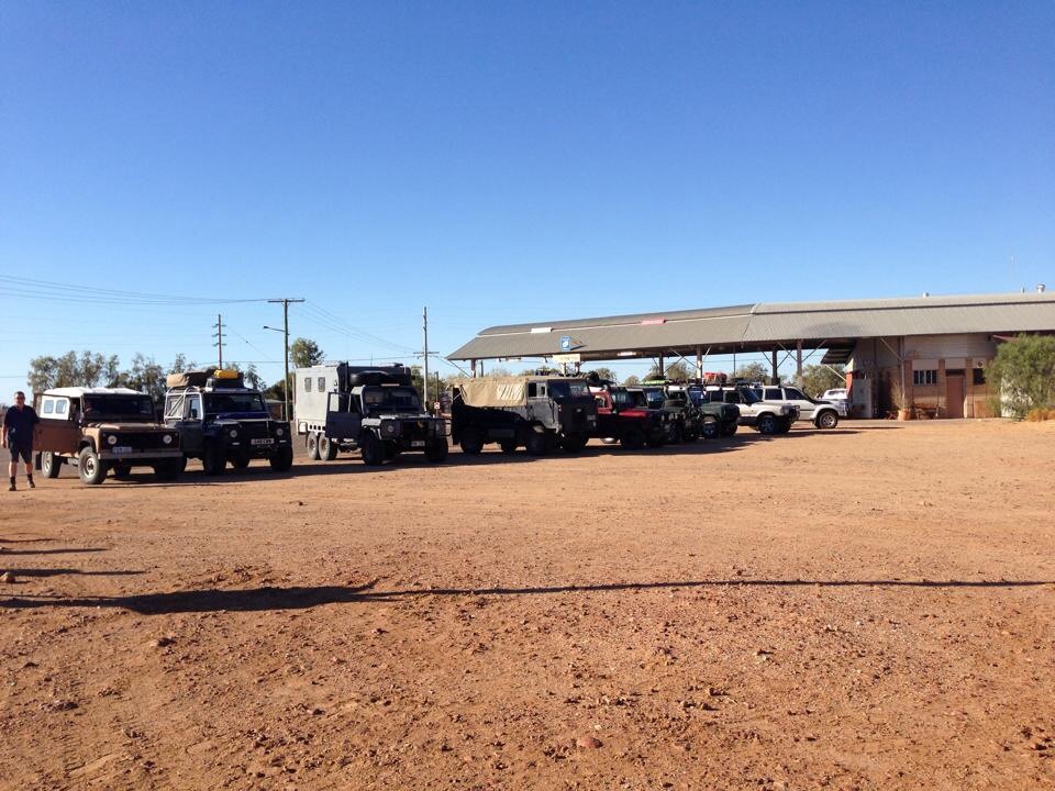
Silver City 4×4 were a big part of the OBC offering workshop facilities and assistance throughout the event.
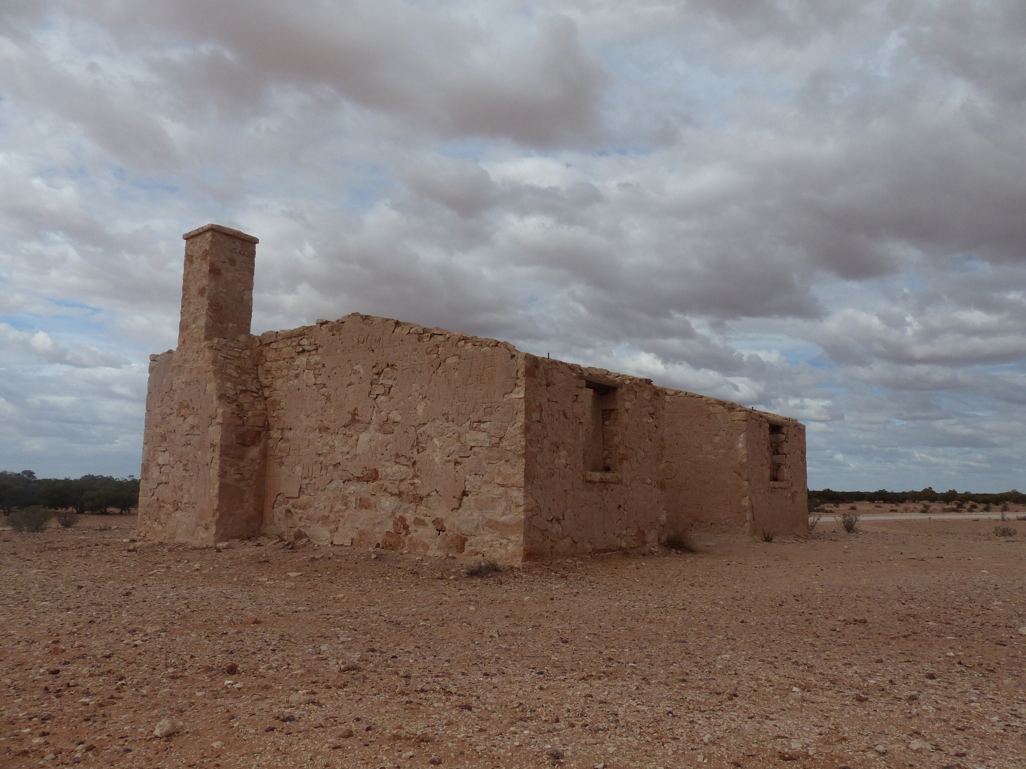
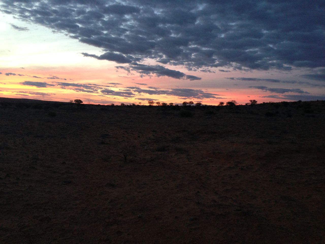
We then left Broken Hill to head South East to yet another OBC landmark, Menindee. I’ve only ever seen Menindi in the dark, often late at night, and then we’ve only seen the fuel station on the edge of town. We would fill up there at least once during the event and lots of the local kids would come out to see the competition vehicles and ask for stickers from sponsors. Looking round it today it turns out it’s a fairly big town with some well preserved old buildings scattered around the town.
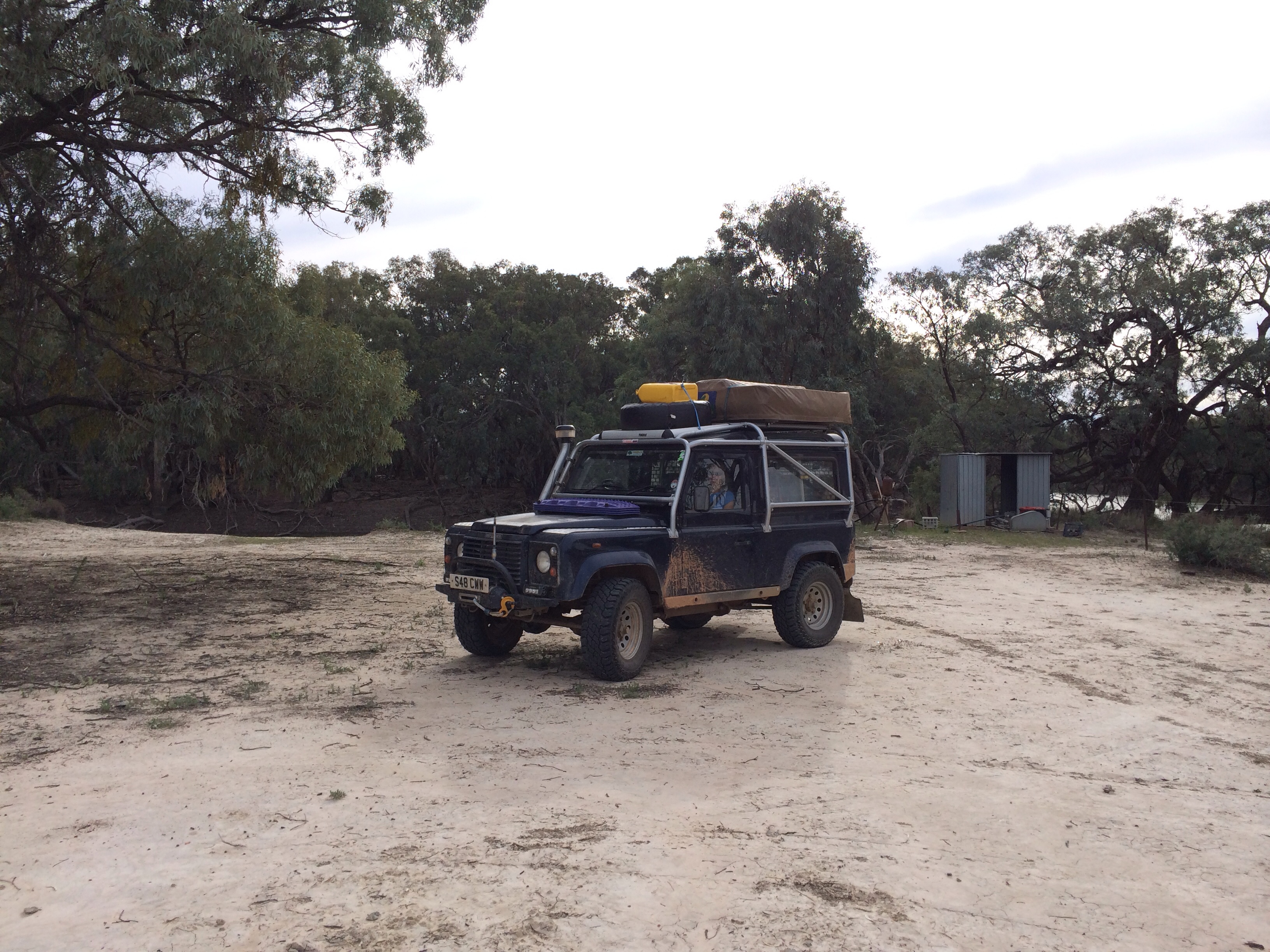
A quick stop alongside the river at Viewmont
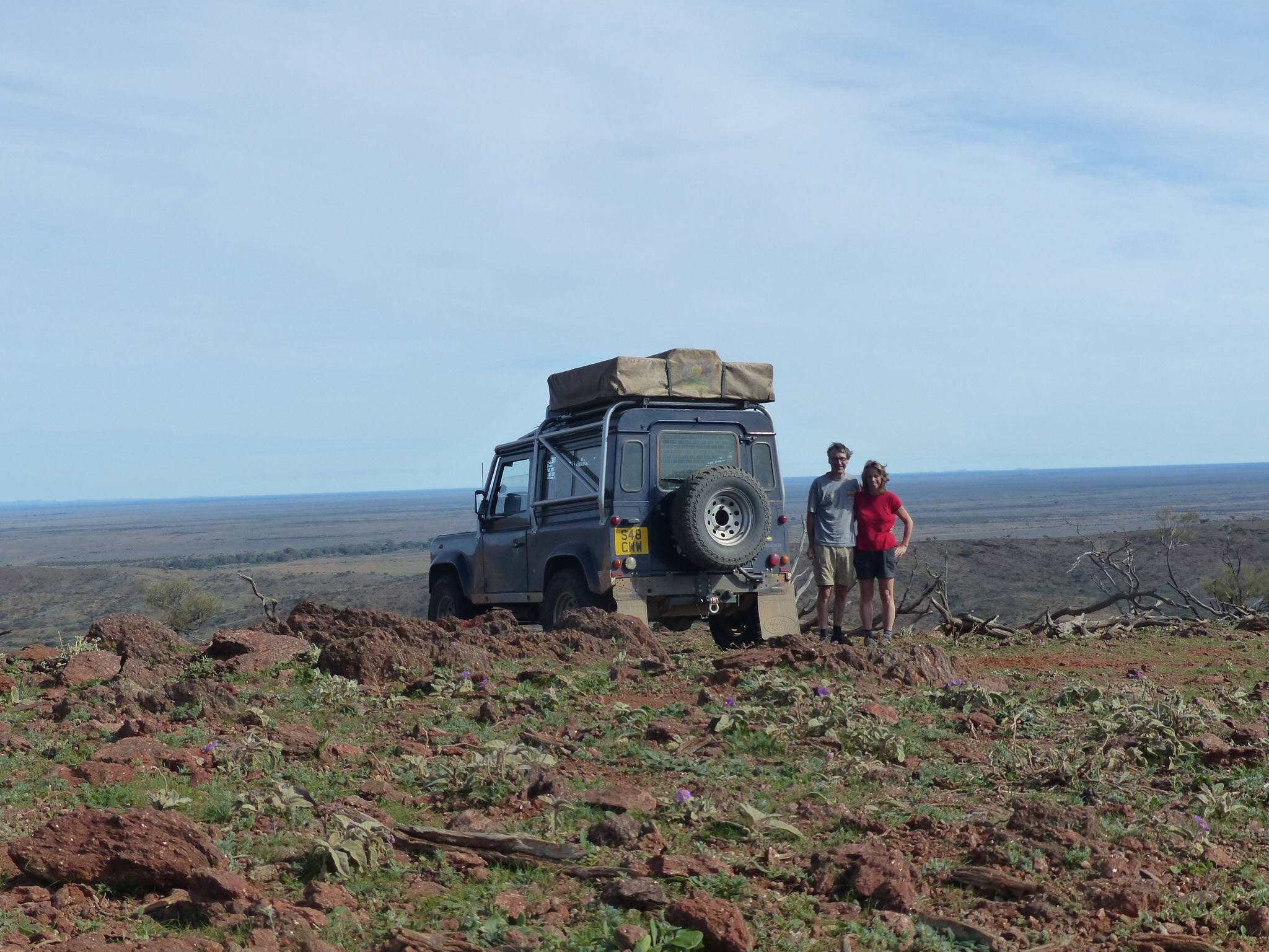
From Menindi we headed to the south side of the Darling River onto the unsurfaced road to Wilcania. I’m afraid this is yet another OBC throwback as the Viewmont competition area runs alongside this track. Viewmont was always a challenging venue because we spent a LOT of our time driving through very deep water and the clay mud got everywhere. It was Viewmont that killed Neil’s truck in 2008 and nearly finished off Gary’s Range Rover. We stopped off at the cleaning area where we also spent some time welding his axle back together.
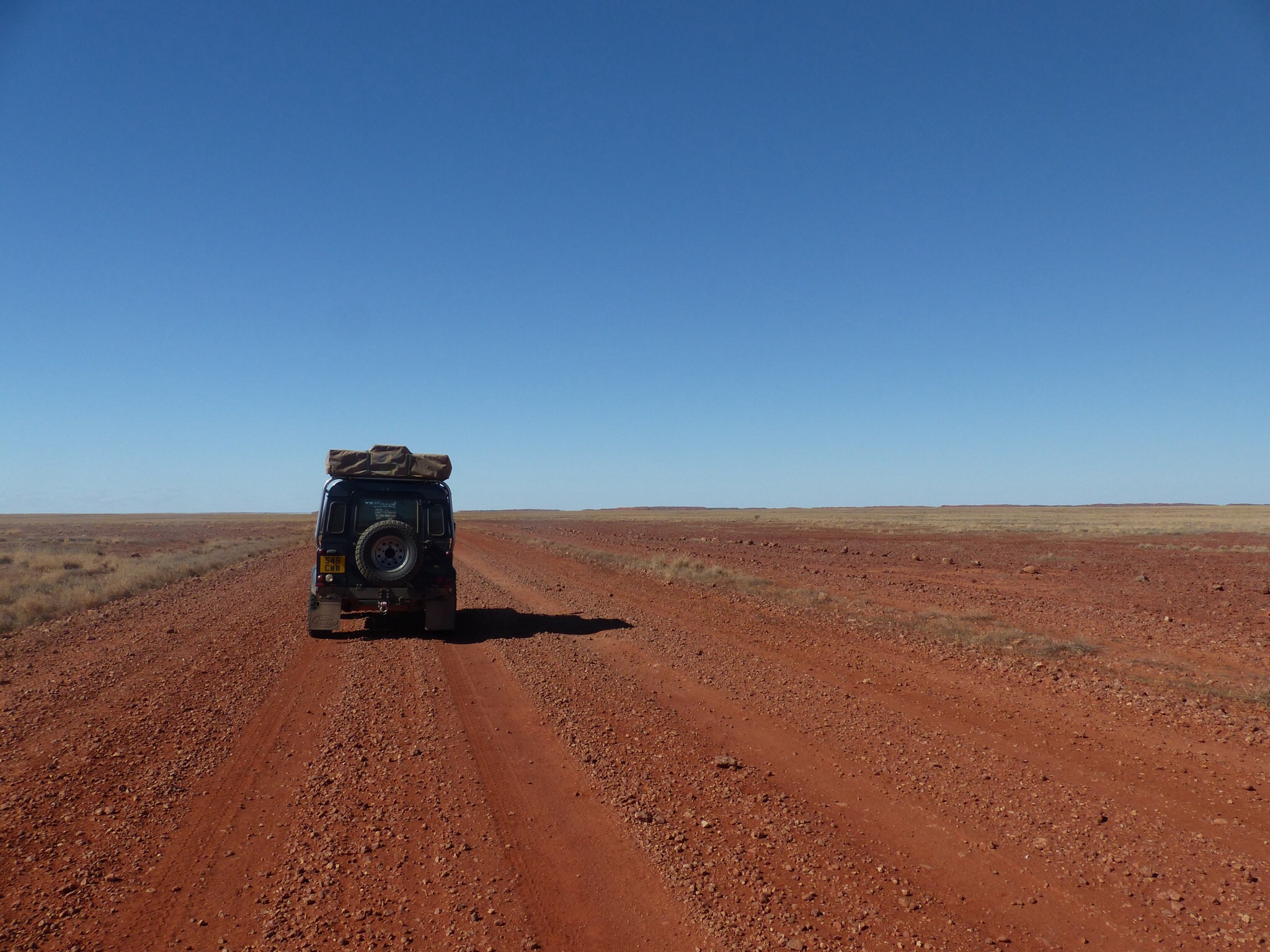
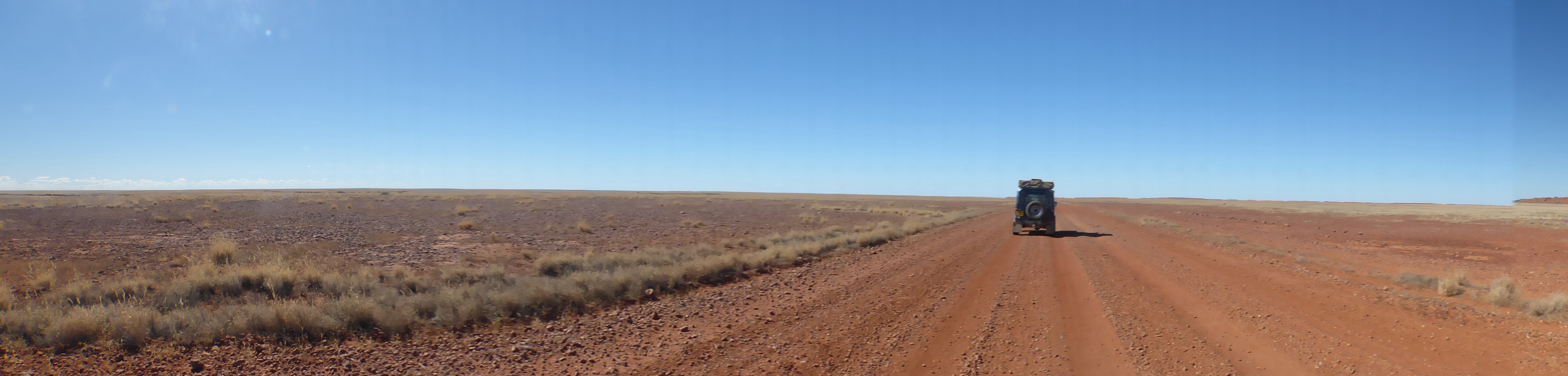
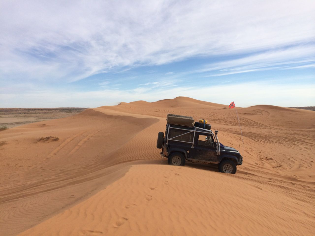
The unsealed road to Wilcania is a really nice road to drive. As well as the scenery alongside the river the soft bull dust and sand meant that the going was nice and smooth but occasionally you’d hit bull dust with one wheel that would throw the Land Rover across the road. Just as I remembered it from the OBC (don’t worry, not many more OBC references to go !). Not too many sideways moments, just enough to have a good “play” 🙂
Tomorrow we’re expecting the weather to take a turn for the worst with showers and possibly a storm forecast. We’ll continue east, sticking to surfaced roads probably heading to Nyngan.