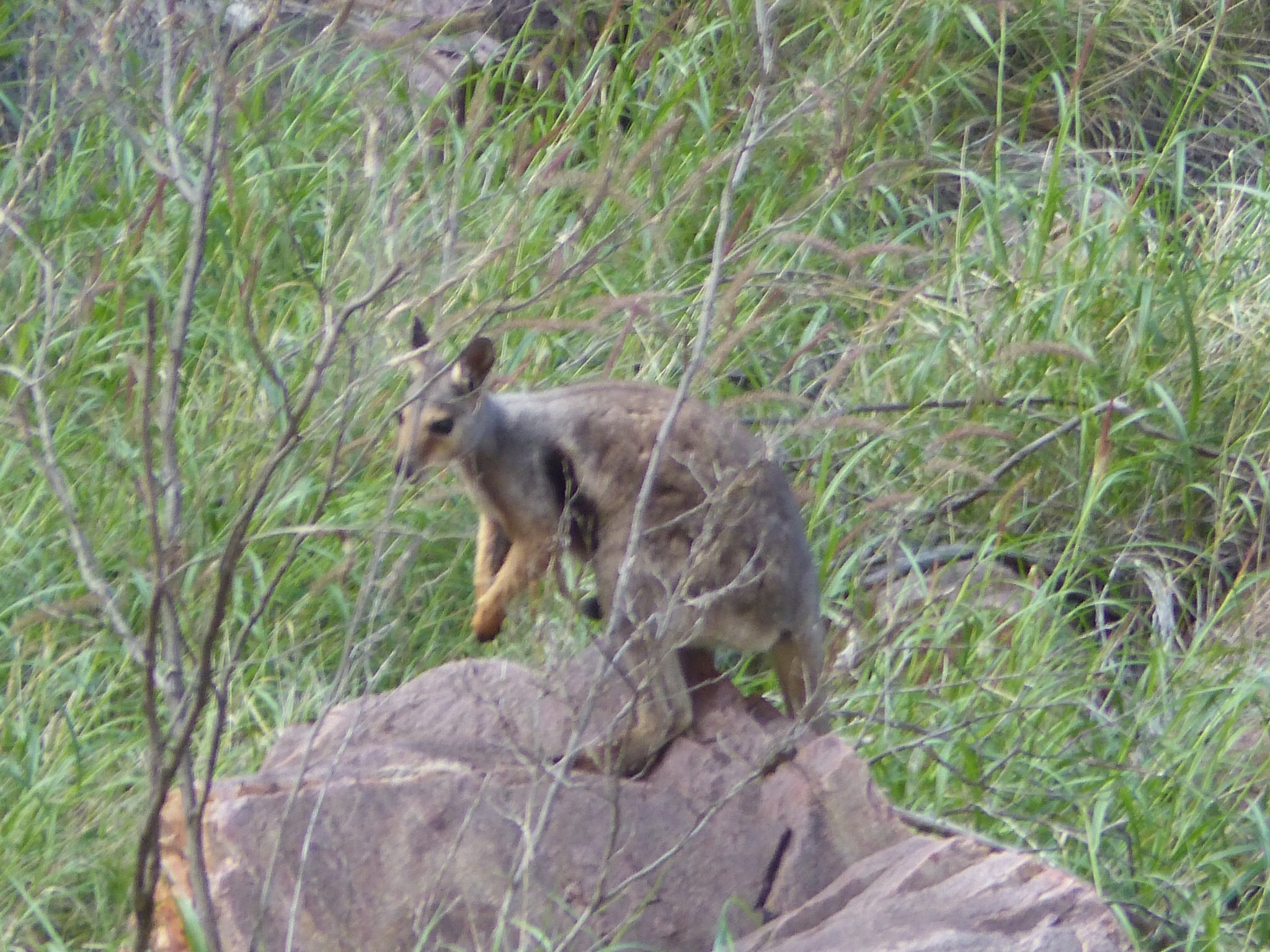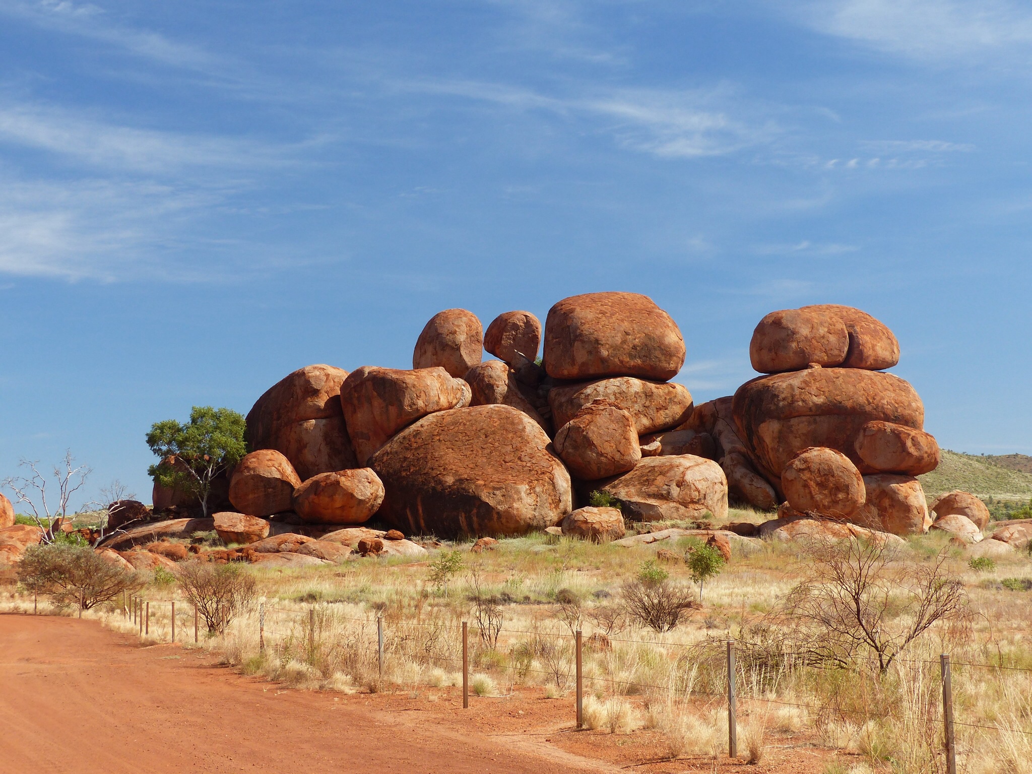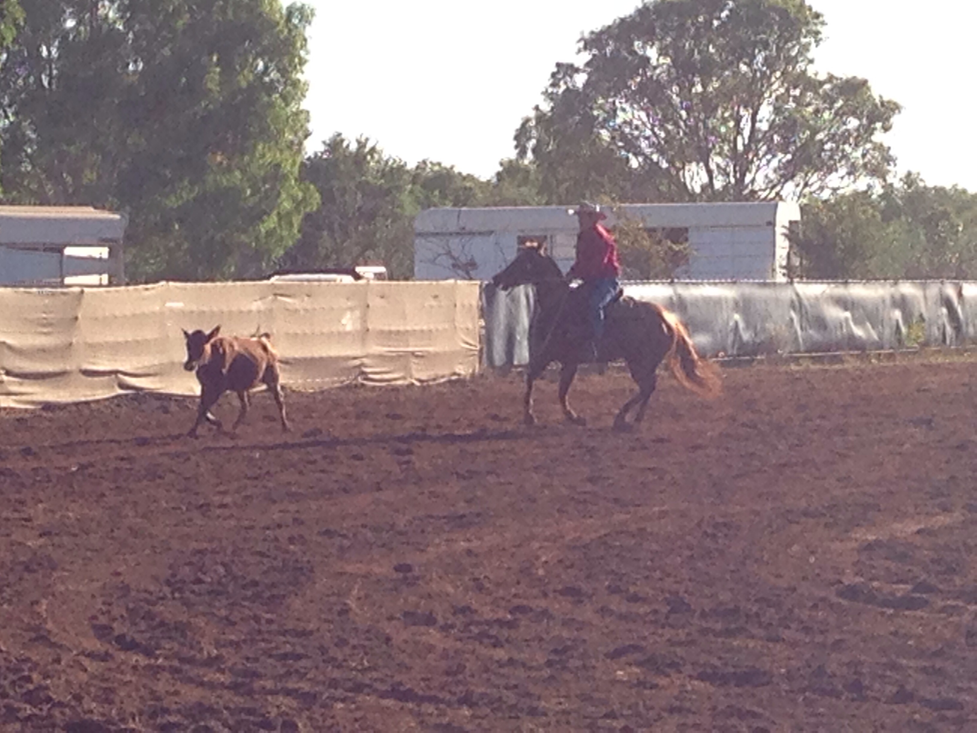
Big Rock, Little Truck
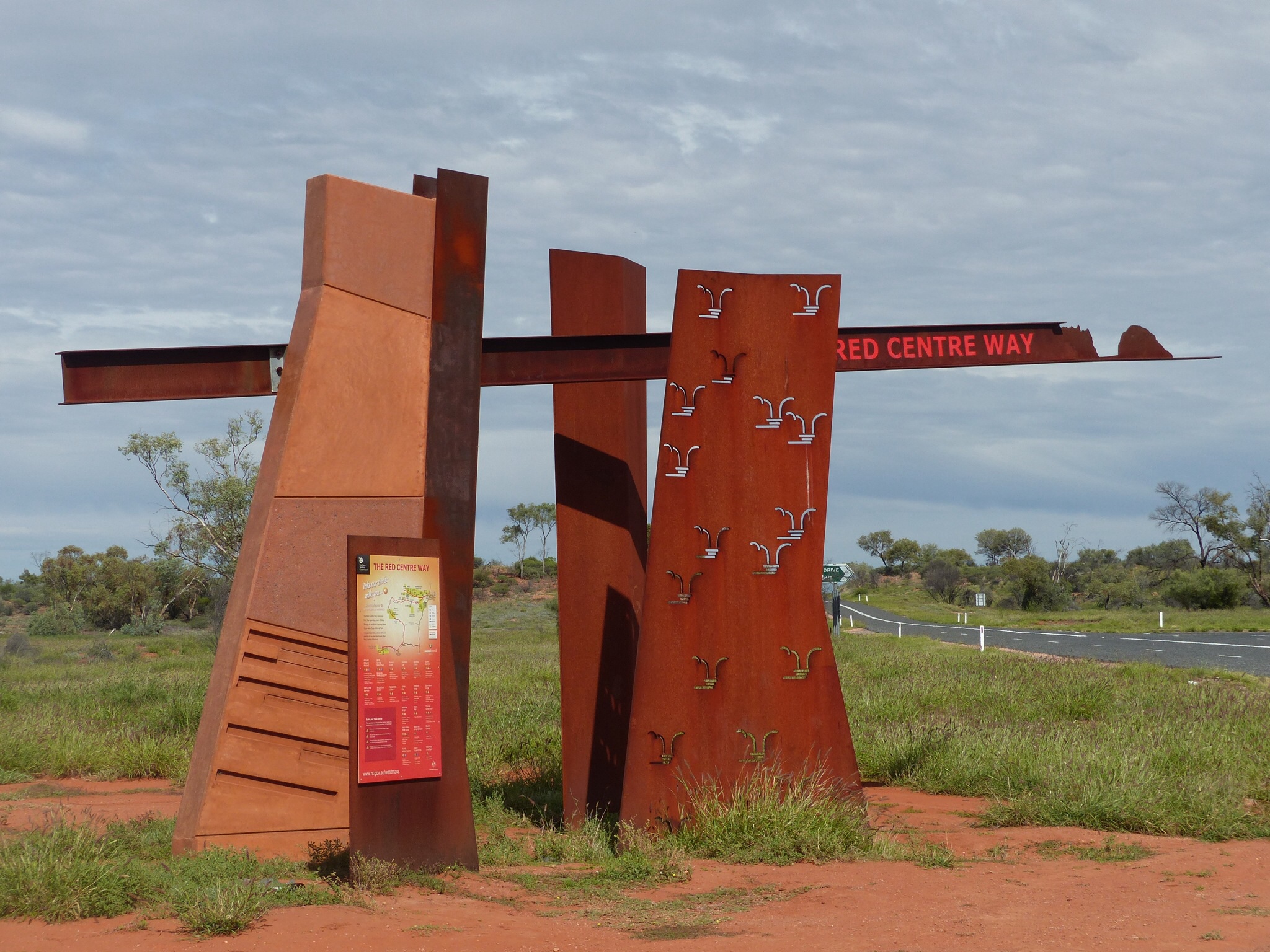
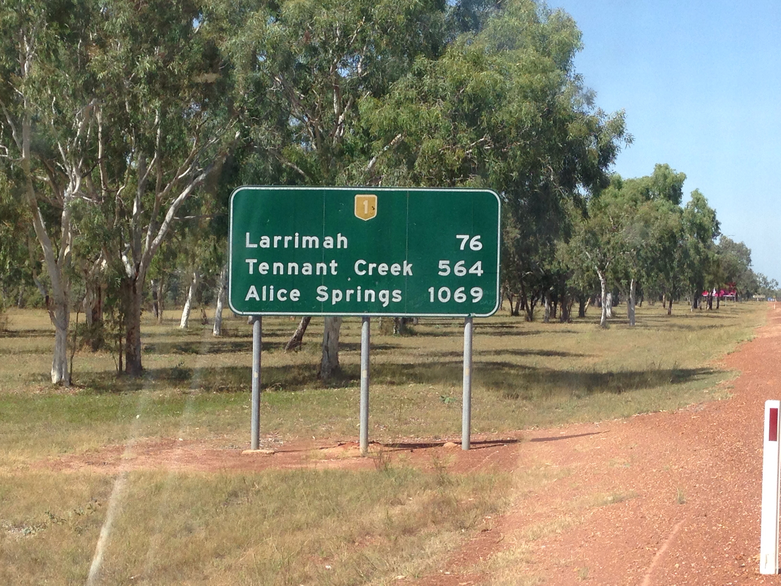
Today was initially a case of getting to Yulara, the resort next to the Uluru – Kata Tjuta National Park. All sealed roads so a pretty straight forward trip saw us arrive at the resort at about 12.30 pm after a single stop to refuel at Curtin Springs.
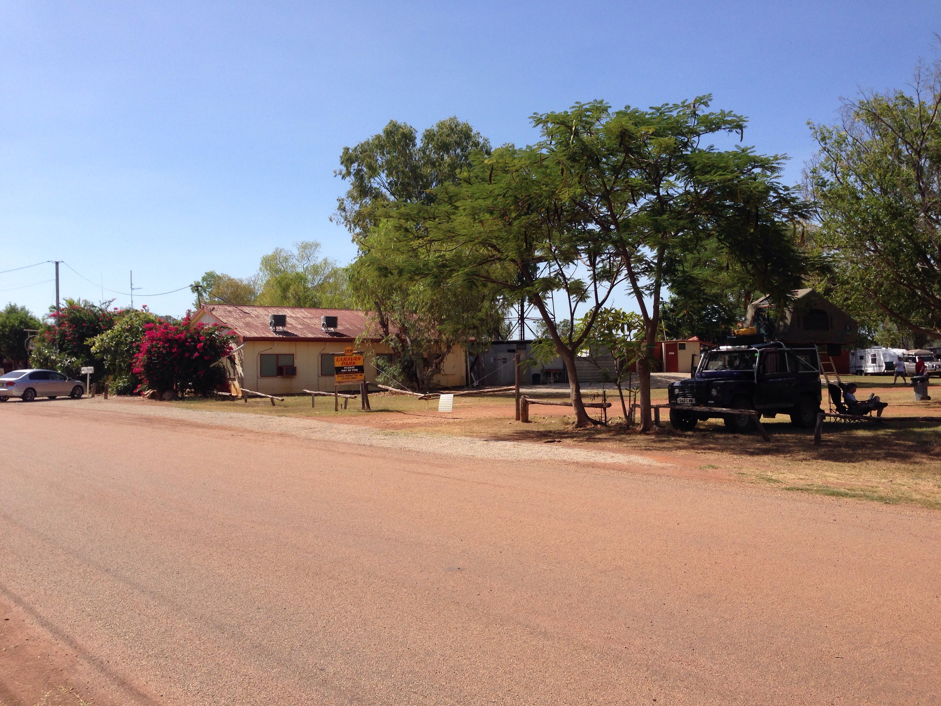
The campground at the resort had had a power cut earlier, so when we arrived there was a huge queue of people waiting to check in. We had to pay a surcharge as there were no unpowered sites available but we checked in for 2 nights as planned.
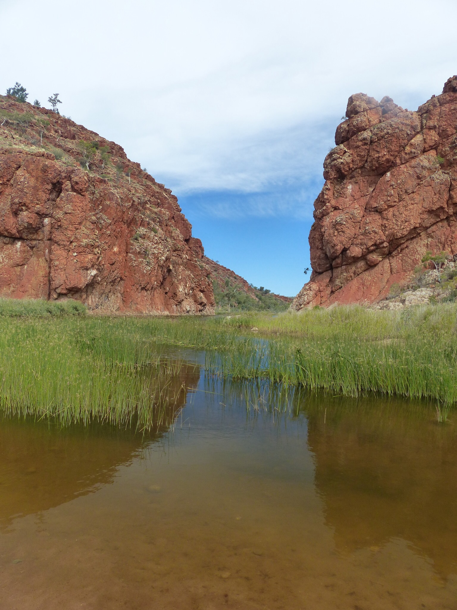
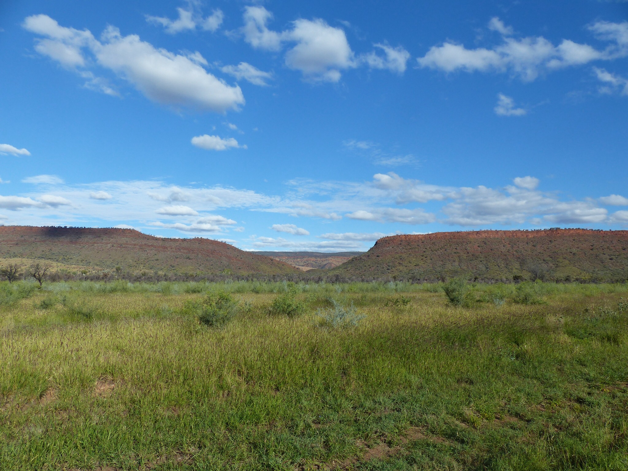
Once we’d checked in we headed into the National Park. There are two major features in the national park – Kata Tjuta (Mount Olga) and Uluru (Ayers Rock).
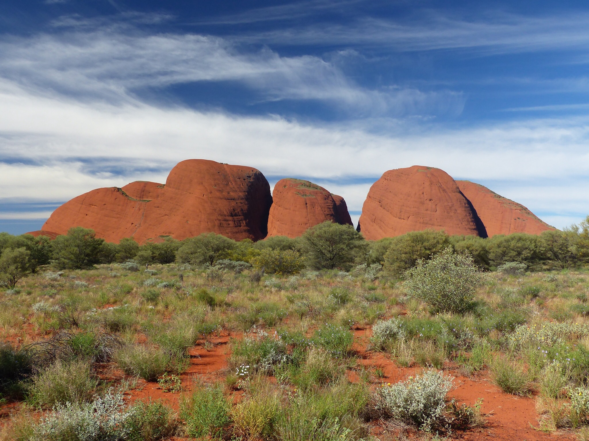
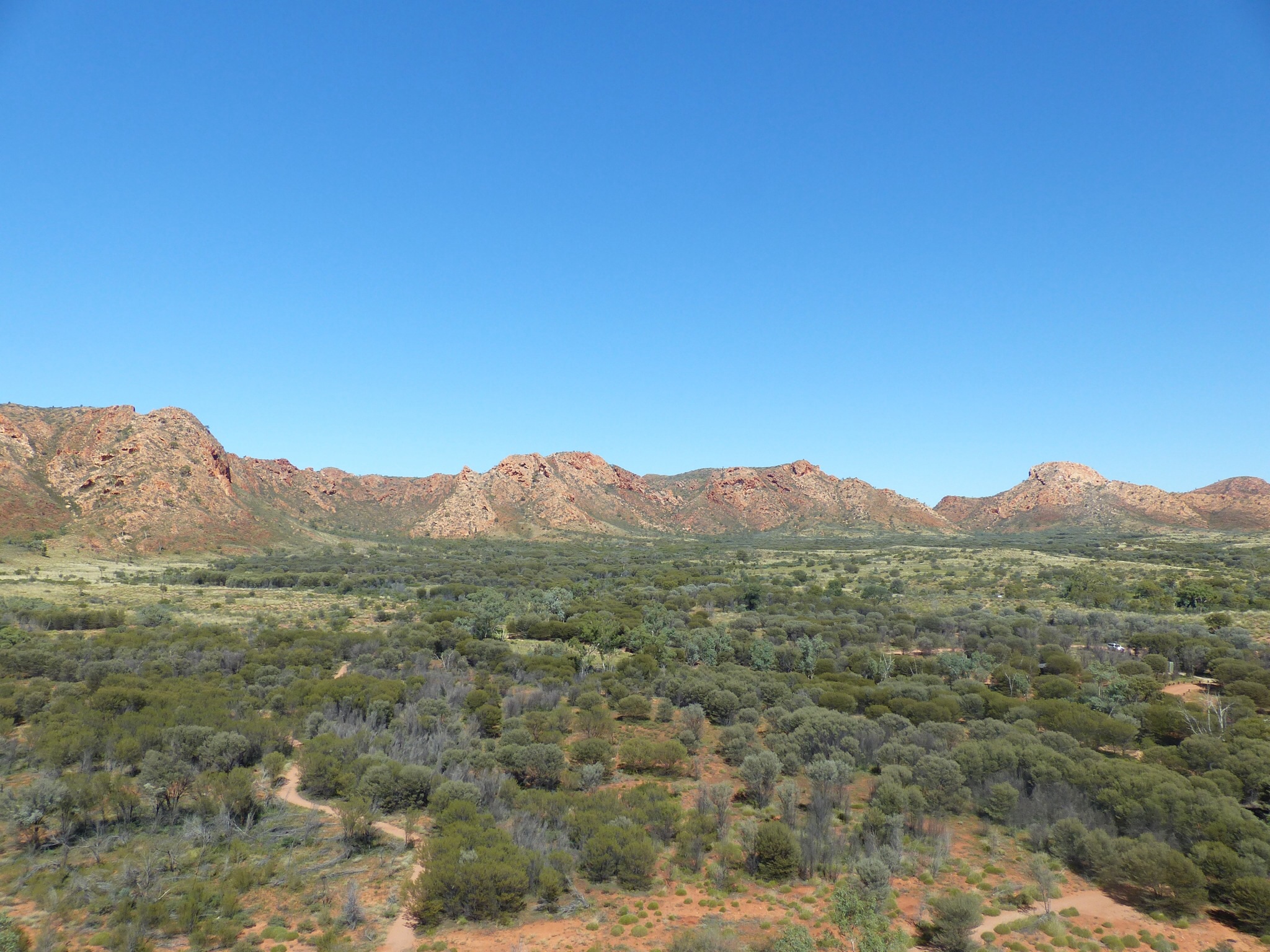
Mount Olga
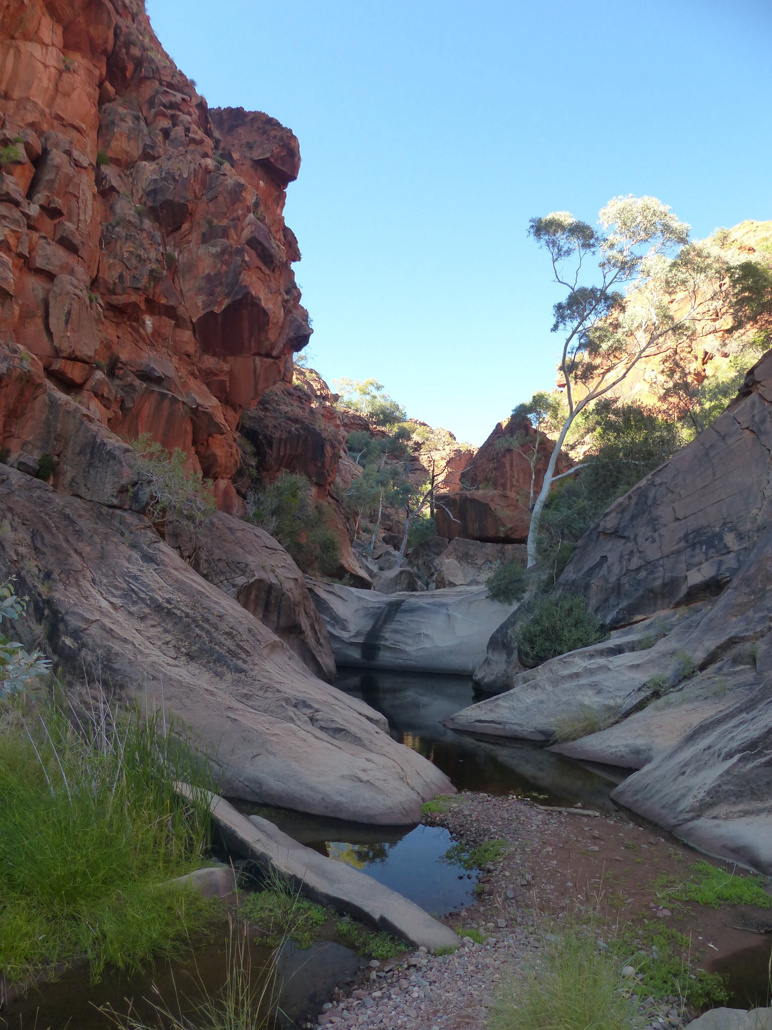
Mount Olga was our first destination, after which we drove around Ayers Rock, stopping at the Mutitjula Waterhole before heading to the cultural centre while we waited for the sun to sink a bit.
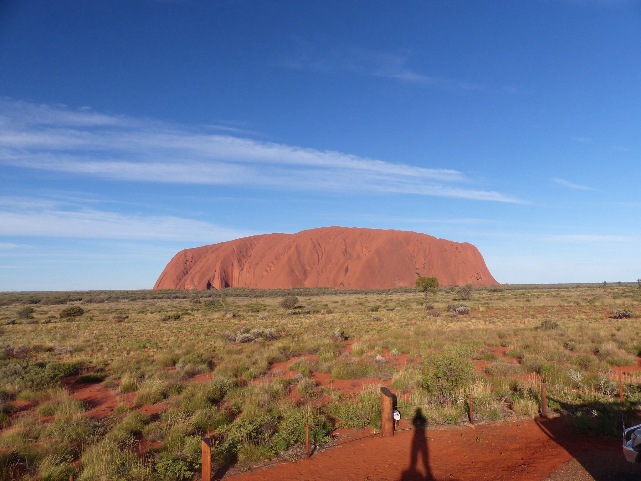
We then headed to the Uluru sunset viewing point and parked up to await the sunset. If I’m honest the sunset was a bit of a damp squib, not helped I’m sure by the cloud cover in the west.
The “coach park” for commercial operators seemed to be better positioned to get a better view than the car park which, in many ways sums Uluru up. On one hand it’s an Aboriginal sacred place but at the same time the commercial operators are given the best viewing areas and seem to call the shots when it comes to public access. Even at the campground one of the commercial operators was tearing a strip off a ranger because he wanted her to park in the queue like everyone else and she felt as a commercial operator she should be given preferential treatment.
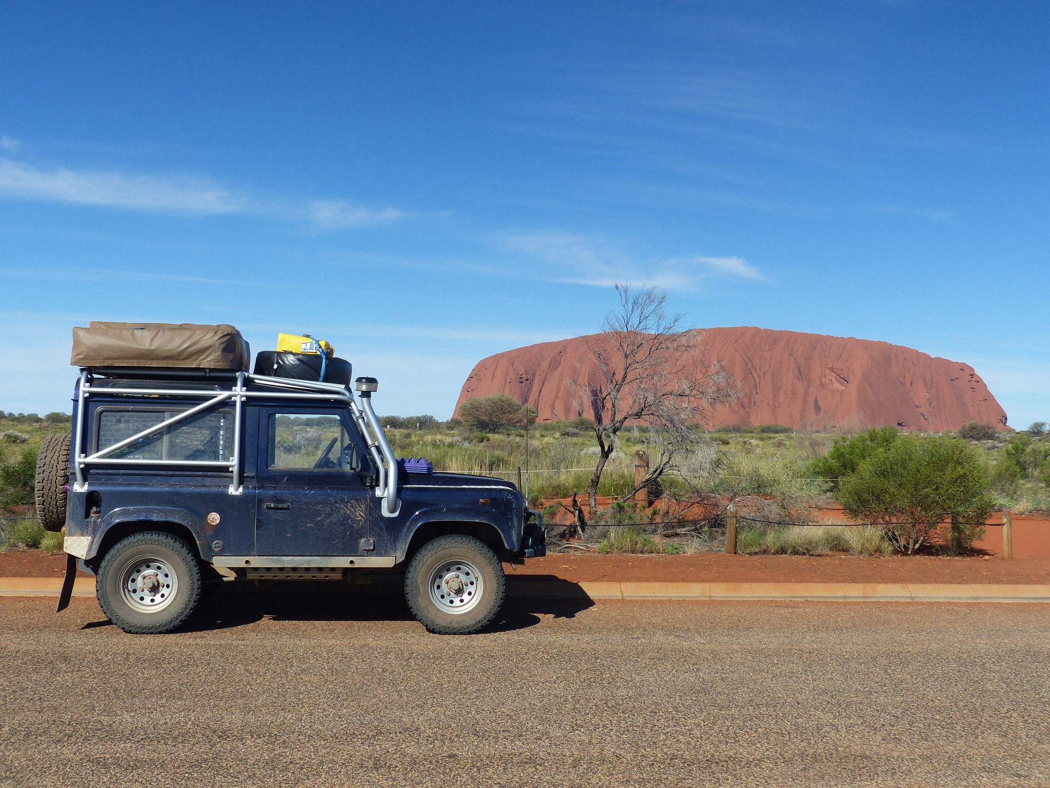
Uluru – Ayers Rock
Ayers Rock itself is an impressive lump of rock and I’m sure it means more to the Aboriginal tribe than just being a cash cow but our misgivings about visiting the place were pretty well founded.
I’m glad we came while we were “in the area” and I’m glad I have seen it but it’s not our kind of place.
Anyway, we’ve done the rock now, got the inevitable photos and tomorrow will be a chill out day at the camp site before we set off towards Mount Dare and the Simpson Desert crossing.
We might take a side trip to Mount Connor on the way out.